Maps showing Prophet River, Peace River Land District, British Columbia
Prophet River is a River located in Peace River Land District, British Columbia and has an elevation of 401 meters.
- Latitude: 58° 45' 50'' North (decimal: 58.7638999)
- Longitude: 122° 44' 20'' West (decimal: -122.7389000)
- Topography Feature Category: River
- Geographical Feature: River
- Canadian Province/Territory: British Columbia
- Elevation: 401 meters
- Location: Peace River Land District
- Atlas of Canada Locator Map: Prophet River
- GPS Coordinate Locator Map: Prophet River Lat/Long
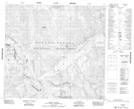
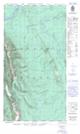
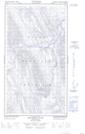
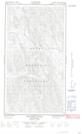
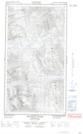
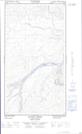
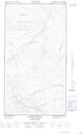
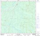
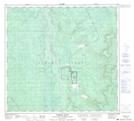
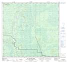
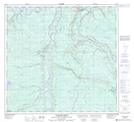
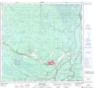
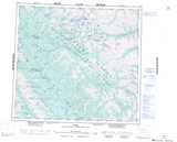
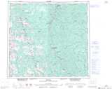
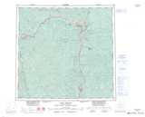
Prophet River NTS Map Sheets
094F09 Mount Justin Topographic Map at 1:50,000 scale
094G11E Minaker River Topographic Map at 1:50,000 scale
094G11W Minaker River Topographic Map at 1:50,000 scale
094G12E Richards Creek Topographic Map at 1:50,000 scale
094G12W Richards Creek Topographic Map at 1:50,000 scale
094G14E Bunch Creek Topographic Map at 1:50,000 scale
094G14W Bunch Creek Topographic Map at 1:50,000 scale
094G15 Bougie Creek Topographic Map at 1:50,000 scale
094J02 Prophet River Topographic Map at 1:50,000 scale
094J07 Big Beaver Creek Topographic Map at 1:50,000 scale
094J10 Jackfish Creek Topographic Map at 1:50,000 scale
094J15 Fort Nelson Topographic Map at 1:50,000 scale
094F Ware Topographic Map at 1:250,000 scale
094G Trutch Topographic Map at 1:250,000 scale
094J Fort Nelson Topographic Map at 1:250,000 scale