Canada Topographic Maps

Kitimat Ranges Topo Maps

Topography maps and Latitude/Longitude Location

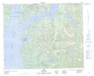
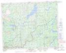
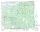
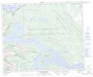
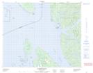
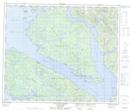
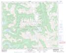
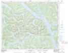
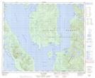
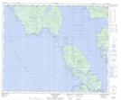
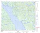
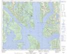
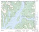
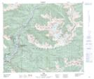
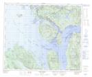
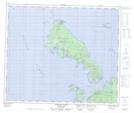
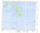
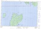
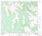
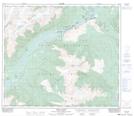
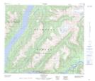
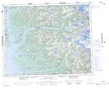
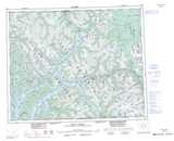
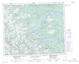
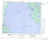
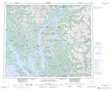
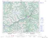
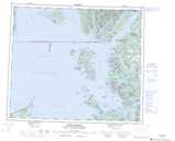
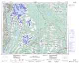
Maps showing Kitimat Ranges, Coast Land District, British Columbia

Kitimat Ranges is a Mountain located in Coast Land District, British Columbia and has an elevation of 603 meters.

  • Latitude: 53° 50' North   (decimal: 53.8332999)
  • Longitude: 128° 30' West   (decimal: -128.5000000)
  • Topography Feature Category: Mountain
  • Geographical Feature: Ranges
  • Canadian Province/Territory: British Columbia
  • Elevation: 603 meters
  • Location: Coast Land District
  • Atlas of Canada Locator Map: Kitimat Ranges
  • GPS Coordinate Locator Map: Kitimat Ranges Lat/Long

Kitimat Ranges NTS Map Sheets

092M13 Namu Topographic Map at 1:50,000 scale

093D16 Sigutlat Lake Topographic Map at 1:50,000 scale

093E01 Oppy Lake Topographic Map at 1:50,000 scale

093E07 St Thomas River Topographic Map at 1:50,000 scale

103A14 Caamano Sound Topographic Map at 1:50,000 scale

103G09 Mccauley Island Topographic Map at 1:50,000 scale

103H01 Khutze River Topographic Map at 1:50,000 scale

103H02 Butedale Topographic Map at 1:50,000 scale

103H03 Gil Island Topographic Map at 1:50,000 scale

103H04 Trutch Island Topographic Map at 1:50,000 scale

103H05 Port Stephens Topographic Map at 1:50,000 scale

103H06 Hartley Bay Topographic Map at 1:50,000 scale

103H15 Kitimat Arm Topographic Map at 1:50,000 scale

103I09 Usk Topographic Map at 1:50,000 scale

103J01 Port Edward Topographic Map at 1:50,000 scale

103J02 Stephens Island Topographic Map at 1:50,000 scale

103J07 Melville Island Topographic Map at 1:50,000 scale

103J10 Dundas Island Topographic Map at 1:50,000 scale

103P02 Lava Lake Topographic Map at 1:50,000 scale

103P03 Tseax River Topographic Map at 1:50,000 scale

103P04 Greenville Topographic Map at 1:50,000 scale

092M Rivers Inlet Topographic Map at 1:250,000 scale

093D Bella Coola Topographic Map at 1:250,000 scale

093E Whitesail Lake Topographic Map at 1:250,000 scale

103A Laredo Sound Topographic Map at 1:250,000 scale

103G Hecate Strait Topographic Map at 1:250,000 scale

103H Douglas Channel Topographic Map at 1:250,000 scale

103I Terrace Topographic Map at 1:250,000 scale

103J Prince Rupert Topographic Map at 1:250,000 scale

103P Nass River Topographic Map at 1:250,000 scale

 
Buy Topographic Maps DVD
Newsletter Sign-up

Yes, I want to receive map store discounts.


Bookmark and Share