Maps showing Eagle River, Yukon
Eagle River is a River located in Yukon and has an elevation of 269 meters.
- Latitude: 67° 17' 58'' North (decimal: 67.2994444)
- Longitude: 137° 8' 49'' West (decimal: -137.1469444)
- Topography Feature Category: River
- Geographical Feature: River
- Canadian Province/Territory: Yukon
- Elevation: 269 meters
- Atlas of Canada Locator Map: Eagle River
- GPS Coordinate Locator Map: Eagle River Lat/Long
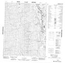
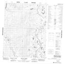
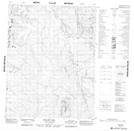
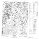
Eagle River NTS Map Sheets
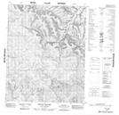
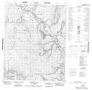
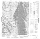
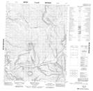
116I02 Mount Higgins Topographic Map at 1:50,000 scale
116I07 Corbett Hill Topographic Map at 1:50,000 scale
116I08 Mount Raymond Topographic Map at 1:50,000 scale
116I10 Mount Joyal Topographic Map at 1:50,000 scale
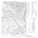
116I11 No Title Topographic Map at 1:50,000 scale
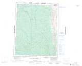
116I14 Aquila Creek Topographic Map at 1:50,000 scale
116I15 Polley Hill Topographic Map at 1:50,000 scale
116P03 Tizra Creek Topographic Map at 1:50,000 scale
116P06 Lapierre House Topographic Map at 1:50,000 scale
116I Eagle River Topographic Map at 1:250,000 scale
116P Bell River Topographic Map at 1:250,000 scale