Canada Topographic Maps

Incised Creek Topo Maps

Topography maps and Latitude/Longitude Location

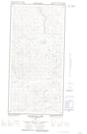
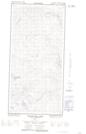
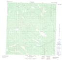
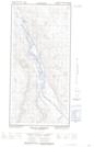
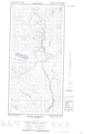
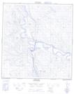
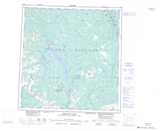
Maps showing Incised Creek, Yukon

Incised Creek is a River located in Yukon.

  • Latitude: 62° 2' 6'' North   (decimal: 62.035)
  • Longitude: 136° 20' 36'' West   (decimal: -136.3433333)
  • Topography Feature Category: River
  • Geographical Feature: Creek
  • Canadian Province/Territory: Yukon
  • Atlas of Canada Locator Map: Incised Creek
  • GPS Coordinate Locator Map: Incised Creek Lat/Long

Incised Creek NTS Map Sheets

115H10E Macintosh Lake Topographic Map at 1:50,000 scale

115H10W Macintosh Lake Topographic Map at 1:50,000 scale

115H15 Upper Nisling River Topographic Map at 1:50,000 scale

115H16E Mount Morrison Topographic Map at 1:50,000 scale

115H16W Mount Morrison Topographic Map at 1:50,000 scale

115I01 Carmacks Topographic Map at 1:50,000 scale

115H Aishihik Lake Topographic Map at 1:250,000 scale

115I Carmacks Topographic Map at 1:250,000 scale

 
Buy Topographic Maps DVD
Newsletter Sign-up

Yes, I want to receive map store discounts.


Bookmark and Share