Canada Topographic Maps

Lone Pine Mountain Topo Maps

Topography maps and Latitude/Longitude Location

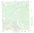
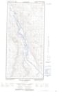
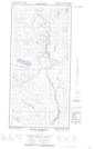
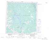
Maps showing Lone Pine Mountain, Yukon

Lone Pine Mountain is a Mountain located in Yukon and has an elevation of 1129 meters.

  • Latitude: 61° 56' 15'' North   (decimal: 61.9375)
  • Longitude: 139° 0' 26'' West   (decimal: -139.0072222)
  • Topography Feature Category: Mountain
  • Geographical Feature: Mountain
  • Canadian Province/Territory: Yukon
  • Elevation: 1129 meters
  • Atlas of Canada Locator Map: Lone Pine Mountain
  • GPS Coordinate Locator Map: Lone Pine Mountain Lat/Long

Lone Pine Mountain NTS Map Sheets

115G14 Toshingermann Lakes Topographic Map at 1:50,000 scale

115H16E Mount Morrison Topographic Map at 1:50,000 scale

115H16W Mount Morrison Topographic Map at 1:50,000 scale

115G Kluane Lake Topographic Map at 1:250,000 scale

115H Aishihik Lake Topographic Map at 1:250,000 scale

 
Buy Topographic Maps DVD
Newsletter Sign-up

Yes, I want to receive map store discounts.


Bookmark and Share