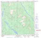
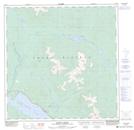
Maps showing Michie Creek, Yukon
Michie Creek is a River located in Yukon and has an elevation of 730 meters.
- Latitude: 60° 40' 25'' North (decimal: 60.6736111)
- Longitude: 134° 28' 18'' West (decimal: -134.4716667)
- Topography Feature Category: River
- Geographical Feature: Creek
- Canadian Province/Territory: Yukon
- Elevation: 730 meters
- Atlas of Canada Locator Map: Michie Creek
- GPS Coordinate Locator Map: Michie Creek Lat/Long
Michie Creek NTS Map Sheets