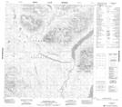
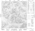
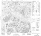
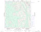
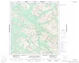
Maps showing Narchilla Brook, Yukon
Narchilla Brook is a River located in Yukon and has an elevation of 1182 meters.
- Latitude: 61° 51' 3'' North (decimal: 61.8508333)
- Longitude: 129° 36' 27'' West (decimal: -129.6075)
- Topography Feature Category: River
- Geographical Feature: Brook
- Canadian Province/Territory: Yukon
- Elevation: 1182 meters
- Atlas of Canada Locator Map: Narchilla Brook
- GPS Coordinate Locator Map: Narchilla Brook Lat/Long
Narchilla Brook NTS Map Sheets
105H13 Mcpherson Lake Topographic Map at 1:50,000 scale
105I03 Little Owls Mountain Topographic Map at 1:50,000 scale
105I04 Mount Pike Topographic Map at 1:50,000 scale
105H Frances Lake Topographic Map at 1:250,000 scale
105I Little Nahanni River Topographic Map at 1:250,000 scale
105I03 Little Owls Mountain Topographic Map at 1:50,000 scale
105I04 Mount Pike Topographic Map at 1:50,000 scale
105H Frances Lake Topographic Map at 1:250,000 scale
105I Little Nahanni River Topographic Map at 1:250,000 scale