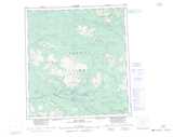
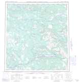
Maps showing Tay River, Yukon
Tay River is a River located in Yukon and has an elevation of 753 meters.
- Latitude: 62° 34' 14'' North (decimal: 62.5705555)
- Longitude: 134° 21' 7'' West (decimal: -134.3519444)
- Topography Feature Category: River
- Geographical Feature: River
- Canadian Province/Territory: Yukon
- Elevation: 753 meters
- Atlas of Canada Locator Map: Tay River
- GPS Coordinate Locator Map: Tay River Lat/Long
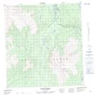
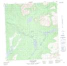
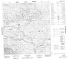
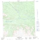
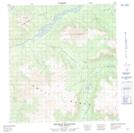
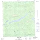
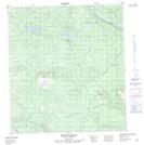
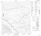
Tay River NTS Map Sheets
105K07 Blind Creek Topographic Map at 1:50,000 scale
105K08 Blind Lakes Topographic Map at 1:50,000 scale
105K10 Teddy Creek Topographic Map at 1:50,000 scale
105K11 Barwell Lake Topographic Map at 1:50,000 scale
105K12 Twopete Mountain Topographic Map at 1:50,000 scale
105K13 Stokes Lake Topographic Map at 1:50,000 scale
105K14 Mount Gillis Topographic Map at 1:50,000 scale
105L09 Menzie Creek Topographic Map at 1:50,000 scale
105K Tay River Topographic Map at 1:250,000 scale
105L Glenlyon Topographic Map at 1:250,000 scale