Canada Topographic Maps

Tom Creek Topo Maps

Topography maps and Latitude/Longitude Location

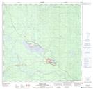
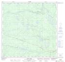
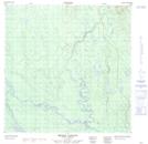
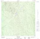
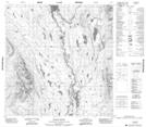
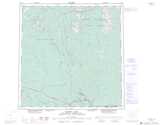
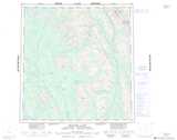
Maps showing Tom Creek, Yukon

Tom Creek is a River located in Yukon and has an elevation of 661 meters.

  • Latitude: 61° 10' 52'' North   (decimal: 61.1811111)
  • Longitude: 129° 2' 17'' West   (decimal: -129.0380556)
  • Topography Feature Category: River
  • Geographical Feature: Creek
  • Canadian Province/Territory: Yukon
  • Elevation: 661 meters
  • Atlas of Canada Locator Map: Tom Creek
  • GPS Coordinate Locator Map: Tom Creek Lat/Long

Tom Creek NTS Map Sheets

105A02 Watson Lake Topographic Map at 1:50,000 scale

105A03 Dodo Lakes Topographic Map at 1:50,000 scale

105A06 Middle Canyon Topographic Map at 1:50,000 scale

105A07 Tom Lake Topographic Map at 1:50,000 scale

105H03 Klatsa River Topographic Map at 1:50,000 scale

105A Watson Lake Topographic Map at 1:250,000 scale

105H Frances Lake Topographic Map at 1:250,000 scale

 
Buy Topographic Maps DVD
Newsletter Sign-up

Yes, I want to receive map store discounts.


Bookmark and Share