Maps showing Darnley Bay, Franklin, Northwest Territories
Darnley Bay is a Bay located in Franklin, Northwest Territories and has an elevation of 0 meters.
- Latitude: 69° 35' 1'' North (decimal: 69.5835982)
- Longitude: 123° 40' 8'' West (decimal: -123.6690156)
- Topography Feature Category: Bay
- Geographical Feature: Bay
- Canadian Province/Territory: Northwest Territories
- Elevation: 0 meters
- Location: Franklin
- Atlas of Canada Locator Map: Darnley Bay
- GPS Coordinate Locator Map: Darnley Bay Lat/Long
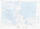
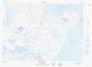
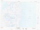
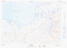
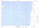
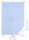
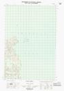
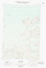
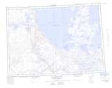
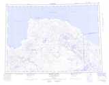
Darnley Bay NTS Map Sheets
097C08 Paulatuk Topographic Map at 1:50,000 scale
097C09 Bennett Point Topographic Map at 1:50,000 scale
097C16 Letty Harbour Topographic Map at 1:50,000 scale
097D05 Rat Lake Topographic Map at 1:50,000 scale
097D12 Clapperton Island Topographic Map at 1:50,000 scale
097D13E Halcro Point Topographic Map at 1:50,000 scale
097F01E Cape Parry Topographic Map at 1:50,000 scale
097F01W Cape Parry Topographic Map at 1:50,000 scale
097C Franklin Bay Topographic Map at 1:250,000 scale
097D Brock River Topographic Map at 1:250,000 scale
097F Malloch Hill Topographic Map at 1:250,000 scale
097G Sachs Harbour Topographic Map at 1:250,000 scale