Canada Topographic Maps

Deerpass Bay Topo Maps

Topography maps and Latitude/Longitude Location

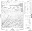
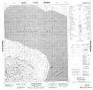
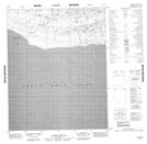
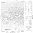
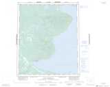
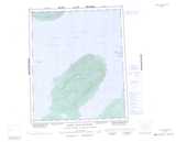
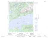
Maps showing Deerpass Bay, Mackenzie, Northwest Territories

Deerpass Bay is a Bay located in Mackenzie, Northwest Territories and has an elevation of 152 meters.

  • Latitude: 65° 55' 36'' North   (decimal: 65.9265683)
  • Longitude: 122° 15' 46'' West   (decimal: -122.2628672)
  • Topography Feature Category: Bay
  • Geographical Feature: Bay
  • Canadian Province/Territory: Northwest Territories
  • Elevation: 152 meters
  • Location: Mackenzie
  • Atlas of Canada Locator Map: Deerpass Bay
  • GPS Coordinate Locator Map: Deerpass Bay Lat/Long

Deerpass Bay NTS Map Sheets

096G15 No Title Topographic Map at 1:50,000 scale

096G16 Kokeragi Point Topographic Map at 1:50,000 scale

096H13 No Title Topographic Map at 1:50,000 scale

096J01 No Title Topographic Map at 1:50,000 scale

096G Fort Franklin Topographic Map at 1:250,000 scale

096H Grizzly Bear Mountain Topographic Map at 1:250,000 scale

096J Kilekale Lake Topographic Map at 1:250,000 scale

 
Buy Topographic Maps DVD
Newsletter Sign-up

Yes, I want to receive map store discounts.


Bookmark and Share