Maps showing Flat River, Mackenzie, Northwest Territories
Flat River is a River located in Mackenzie, Northwest Territories and has an elevation of 448 meters.
- Latitude: 61° 32' 00'' North (decimal: 61.5332998)
- Longitude: 125° 22' 6'' West (decimal: -125.3683347)
- Topography Feature Category: River
- Geographical Feature: River
- Canadian Province/Territory: Northwest Territories
- Elevation: 448 meters
- Location: Mackenzie
- Atlas of Canada Locator Map: Flat River
- GPS Coordinate Locator Map: Flat River Lat/Long
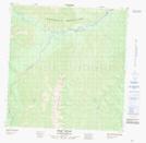
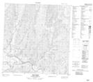
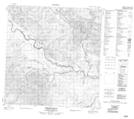
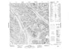
Flat River NTS Map Sheets
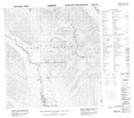
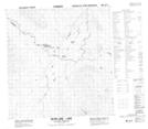
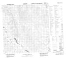
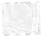
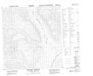
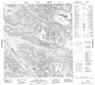
095E06 No Title Topographic Map at 1:50,000 scale
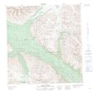
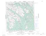
095E07 Seaplane Lake Topographic Map at 1:50,000 scale
095E08 No Title Topographic Map at 1:50,000 scale
095E09 No Title Topographic Map at 1:50,000 scale
095E10 Irvine Creek Topographic Map at 1:50,000 scale
095E11 Pass Creek Topographic Map at 1:50,000 scale
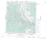
095E12 Bear Pass Creek Topographic Map at 1:50,000 scale
095E13 Mount Sidney Dobson Topographic Map at 1:50,000 scale
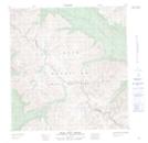
095F05 Mary River Topographic Map at 1:50,000 scale
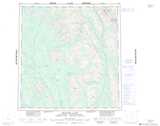
095F11 Vera Creek Topographic Map at 1:50,000 scale
095F12 Virginia Falls Topographic Map at 1:50,000 scale
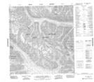
105H16 Tungsten Topographic Map at 1:50,000 scale
105I01 Shelf Lake Topographic Map at 1:50,000 scale
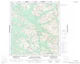
095E Flat River Topographic Map at 1:250,000 scale
095F Virginia Falls Topographic Map at 1:250,000 scale
105H Frances Lake Topographic Map at 1:250,000 scale
105I Little Nahanni River Topographic Map at 1:250,000 scale