Maps showing Kotaneelee River, Mackenzie, Northwest Territories
Kotaneelee River is a River located in Mackenzie, Northwest Territories and has an elevation of 455 meters.
- Latitude: 60° 11' 00'' North (decimal: 60.1832641)
- Longitude: 123° 42' 6'' West (decimal: -123.7016475)
- Topography Feature Category: River
- Geographical Feature: River
- Canadian Province/Territory: Northwest Territories
- Elevation: 455 meters
- Location: Mackenzie
- Atlas of Canada Locator Map: Kotaneelee River
- GPS Coordinate Locator Map: Kotaneelee River Lat/Long
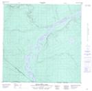
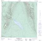
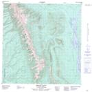
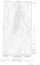
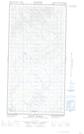
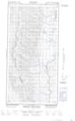
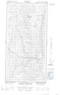
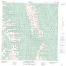
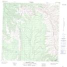
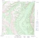
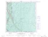
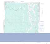
Kotaneelee River NTS Map Sheets
095B04 Betalamea Lake Topographic Map at 1:50,000 scale
095B05 Fisherman Lake Topographic Map at 1:50,000 scale
095B12 Mount Flett Topographic Map at 1:50,000 scale
095C01E Mount Martin Topographic Map at 1:50,000 scale
095C01W Mount Martin Topographic Map at 1:50,000 scale
095C08E Babiche Mountain Topographic Map at 1:50,000 scale
095C08W Babiche Mountain Topographic Map at 1:50,000 scale
095C09 Chinkeh Creek Topographic Map at 1:50,000 scale
095C15 Dendale Lake Topographic Map at 1:50,000 scale
095C16 Etanda Lakes Topographic Map at 1:50,000 scale
095B Fort Liard Topographic Map at 1:250,000 scale
095C La Biche River Topographic Map at 1:250,000 scale