Maps showing Liard River, Mackenzie, Northwest Territories
Liard River is a River located in Mackenzie, Northwest Territories and has an elevation of 110 meters.
- Latitude: 61° 50' 55'' North (decimal: 61.8487082)
- Longitude: 121° 18' 35'' West (decimal: -121.3098247)
- Topography Feature Category: River
- Geographical Feature: River
- Canadian Province/Territory: Northwest Territories
- Elevation: 110 meters
- Location: Mackenzie
- Atlas of Canada Locator Map: Liard River
- GPS Coordinate Locator Map: Liard River Lat/Long
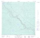
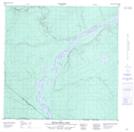
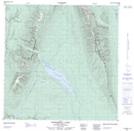
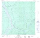
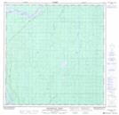
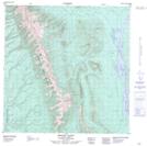
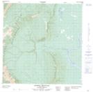
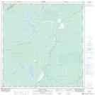
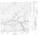
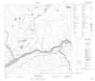
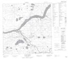
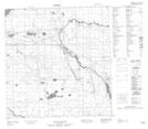
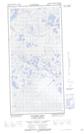
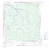
Liard River NTS Map Sheets
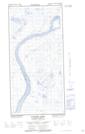
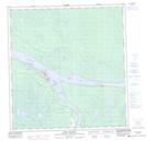
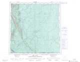
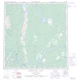
095B03 Fort Liard Topographic Map at 1:50,000 scale
095B04 Betalamea Lake Topographic Map at 1:50,000 scale
095B05 Fisherman Lake Topographic Map at 1:50,000 scale
095B06 No Title Topographic Map at 1:50,000 scale
095B11 Denedothada Creek Topographic Map at 1:50,000 scale
095B12 Mount Flett Topographic Map at 1:50,000 scale
095B13 Sawmill Mountain Topographic Map at 1:50,000 scale
095B14 Netla River Topographic Map at 1:50,000 scale
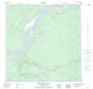
095G01 No Title Topographic Map at 1:50,000 scale
095G02 Dehdjida Island Topographic Map at 1:50,000 scale
095G03 Nahanni Butte Topographic Map at 1:50,000 scale
095G07 Dehdjida Creek Topographic Map at 1:50,000 scale
095G08 Matou River Topographic Map at 1:50,000 scale
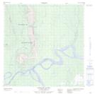
095H05 Scotty Creek Topographic Map at 1:50,000 scale
095H06 No Title Topographic Map at 1:50,000 scale
095H11E Manners Creek Topographic Map at 1:50,000 scale
095H11W Manners Creek Topographic Map at 1:50,000 scale
095H14 Fort Simpson Topographic Map at 1:50,000 scale
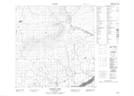
095B Fort Liard Topographic Map at 1:250,000 scale
095G Sibbeston Lake Topographic Map at 1:250,000 scale
095H Fort Simpson Topographic Map at 1:250,000 scale