Maps showing Little Buffalo River, Mackenzie, Northwest Territories
Little Buffalo River is a River located in Mackenzie, Northwest Territories and has an elevation of 161 meters.
- Latitude: 61° 0' 16'' North (decimal: 61.0043147)
- Longitude: 113° 46' 19'' West (decimal: -113.7720570)
- Topography Feature Category: River
- Geographical Feature: River
- Canadian Province/Territory: Northwest Territories
- Elevation: 161 meters
- Location: Mackenzie
- Atlas of Canada Locator Map: Little Buffalo River
- GPS Coordinate Locator Map: Little Buffalo River Lat/Long
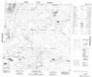
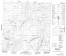
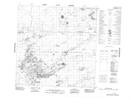
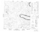
Little Buffalo River NTS Map Sheets
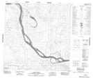
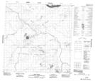
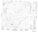
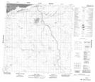
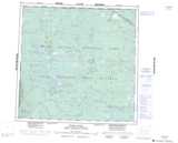
084P15 Flatgrass Lake Topographic Map at 1:50,000 scale
085A02 Seton Creek Topographic Map at 1:50,000 scale
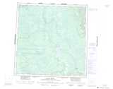
085A06 No Title Topographic Map at 1:50,000 scale
085A07 Grand Detour Topographic Map at 1:50,000 scale
085A10 Landry Creek Topographic Map at 1:50,000 scale
085A11 Bear Creek Topographic Map at 1:50,000 scale
085A12 Badwater Creek Topographic Map at 1:50,000 scale
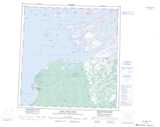
085A13 Salt Lake Topographic Map at 1:50,000 scale
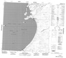
085H04 Resolution Bay Topographic Map at 1:50,000 scale
084P Peace Point Topographic Map at 1:250,000 scale
085A Klewi River Topographic Map at 1:250,000 scale
085H Fort Resolution Topographic Map at 1:250,000 scale