Maps showing Prince Albert Peninsula, Franklin, Northwest Territories
Prince Albert Peninsula is a Cape located in Franklin, Northwest Territories.
- Latitude: 72° 30' 2'' North (decimal: 72.5005197)
- Longitude: 117° 0' 9'' West (decimal: -117.0024013)
- Topography Feature Category: Cape
- Geographical Feature: Peninsula
- Canadian Province/Territory: Northwest Territories
- Location: Franklin
- Atlas of Canada Locator Map: Prince Albert Peninsula
- GPS Coordinate Locator Map: Prince Albert Peninsula Lat/Long
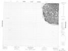
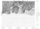
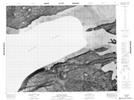
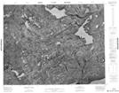
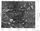
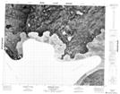
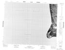
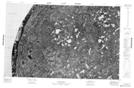
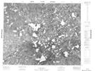
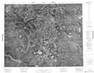
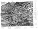
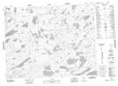
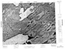
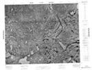
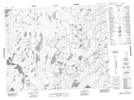
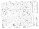
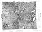
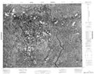
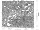
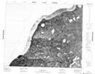
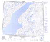
Prince Albert Peninsula NTS Map Sheets
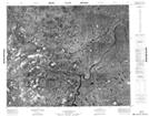
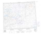
087G06 Mount Phayre Topographic Map at 1:50,000 scale
087G07 Boot Inlet Topographic Map at 1:50,000 scale
087G08 Kuujjua River Topographic Map at 1:50,000 scale
087G09 No Title Topographic Map at 1:50,000 scale
087G10 Winter Cove Topographic Map at 1:50,000 scale
087G11 Berkeley Point Topographic Map at 1:50,000 scale
087G12 No Title Topographic Map at 1:50,000 scale
087G14 No Title Topographic Map at 1:50,000 scale
087G15 No Title Topographic Map at 1:50,000 scale
087G16 No Title Topographic Map at 1:50,000 scale
087H05 No Title Topographic Map at 1:50,000 scale
087H11 No Title Topographic Map at 1:50,000 scale
087H12 No Title Topographic Map at 1:50,000 scale
087H13 No Title Topographic Map at 1:50,000 scale
087H14 No Title Topographic Map at 1:50,000 scale
088A03 No Title Topographic Map at 1:50,000 scale
088A04 No Title Topographic Map at 1:50,000 scale
088B01 No Title Topographic Map at 1:50,000 scale
088B02 No Title Topographic Map at 1:50,000 scale
088B03 No Title Topographic Map at 1:50,000 scale
088B08 No Title Topographic Map at 1:50,000 scale
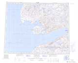
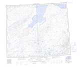
087G Walker Bay Topographic Map at 1:250,000 scale
087H Saneraun Hills Topographic Map at 1:250,000 scale
088A Richard Collinson Inlet Topographic Map at 1:250,000 scale
088B Deans Dundas Bay Topographic Map at 1:250,000 scale