Maps showing Richardson Mountains, Franklin, Northwest Territories
Richardson Mountains is a Mountain located in Franklin, Northwest Territories and has an elevation of 582 meters.
- Latitude: 68° 19' 59'' North (decimal: 68.3331931)
- Longitude: 135° 45' 9'' West (decimal: -135.7525572)
- Topography Feature Category: Mountain
- Geographical Feature: Mountains
- Canadian Province/Territory: Northwest Territories
- Elevation: 582 meters
- Location: Franklin
- Atlas of Canada Locator Map: Richardson Mountains
- GPS Coordinate Locator Map: Richardson Mountains Lat/Long
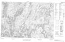
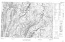
Richardson Mountains NTS Map Sheets
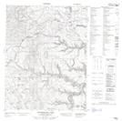
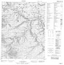
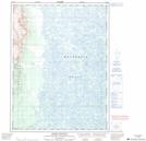
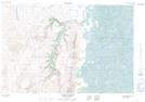
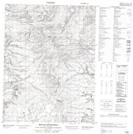
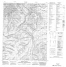
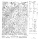
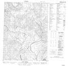
106M04 Boomerang Lake Topographic Map at 1:50,000 scale
106M05 No Title Topographic Map at 1:50,000 scale
106M12 No Title Topographic Map at 1:50,000 scale
106M13 Mount Goodenough Topographic Map at 1:50,000 scale
106M14 Husky Channel Topographic Map at 1:50,000 scale
107B04 Aklavik Range Topographic Map at 1:50,000 scale
107B05E Beaver House Creek Topographic Map at 1:50,000 scale
107B05W Beaver House Creek Topographic Map at 1:50,000 scale
116P01 Mount Sittichinli Topographic Map at 1:50,000 scale
116P08 Mount Millen Topographic Map at 1:50,000 scale
116P09 Mcdougall Pass Topographic Map at 1:50,000 scale
116P16 Scho Creek Topographic Map at 1:50,000 scale
117A01 No Title Topographic Map at 1:50,000 scale
117A08 No Title Topographic Map at 1:50,000 scale
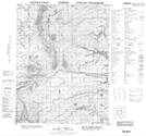
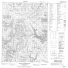
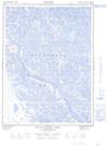
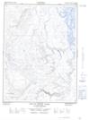
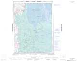
106M Fort Mcpherson Topographic Map at 1:250,000 scale
107B Aklavik Topographic Map at 1:250,000 scale
116P Bell River Topographic Map at 1:250,000 scale
117A Blow River Topographic Map at 1:250,000 scale