Maps showing Thelon River, Keewatin, Northwest Territories
Thelon River is a River located in Keewatin, Northwest Territories and has an elevation of 115 meters.
- Latitude: 64° 15' 6'' North (decimal: 64.2516666)
- Longitude: 102° 0' 2'' West (decimal: -102.0005555)
- Topography Feature Category: River
- Geographical Feature: River
- Canadian Province/Territory: Northwest Territories
- Elevation: 115 meters
- Location: Keewatin
- Atlas of Canada Locator Map: Thelon River
- GPS Coordinate Locator Map: Thelon River Lat/Long
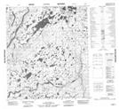
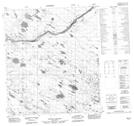
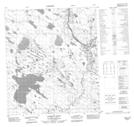
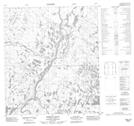
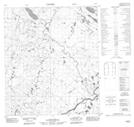
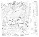
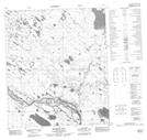
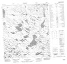
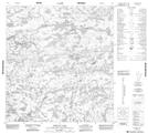
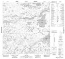
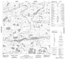
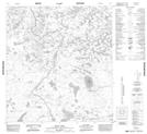
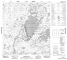
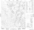
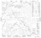
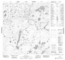
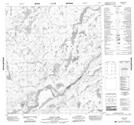
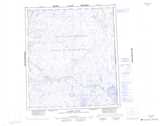
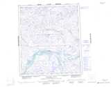
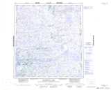
Thelon River NTS Map Sheets
065M13 No Title Topographic Map at 1:50,000 scale
066D01 No Title Topographic Map at 1:50,000 scale
066D02 Lookout Point Topographic Map at 1:50,000 scale
066D04 Hornby Point Topographic Map at 1:50,000 scale
066D05 No Title Topographic Map at 1:50,000 scale
066D06 No Title Topographic Map at 1:50,000 scale
066D07 Muskox Hill Topographic Map at 1:50,000 scale
066D08 No Title Topographic Map at 1:50,000 scale
075I05 Snelgrove Lake Topographic Map at 1:50,000 scale
075I06 Nieznany Lake Topographic Map at 1:50,000 scale
075I07 Jim Lake Topographic Map at 1:50,000 scale
075I10 High Island Topographic Map at 1:50,000 scale
075I15 Beck Lake Topographic Map at 1:50,000 scale
075P02 Eyeberry Lake Topographic Map at 1:50,000 scale
075P07 No Title Topographic Map at 1:50,000 scale
075P09 The Gap Topographic Map at 1:50,000 scale
075P10 Ford Falls Topographic Map at 1:50,000 scale
075P16 Axecut Lake Topographic Map at 1:50,000 scale
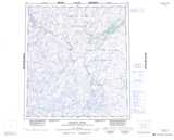
065M Clarke River Topographic Map at 1:250,000 scale
066D Tammarvi River Topographic Map at 1:250,000 scale
075I Beaverhill Lake Topographic Map at 1:250,000 scale
075P Hanbury River Topographic Map at 1:250,000 scale