Maps showing Lancaster Sound, Nunavut
Lancaster Sound is a Channel located in Nunavut.
- Latitude: 74° 13' North (decimal: 74.2167000)
- Longitude: 84° 00' West (decimal: -83.9999999)
- Topography Feature Category: Channel
- Geographical Feature: Sound
- Canadian Province/Territory: Nunavut
- Atlas of Canada Locator Map: Lancaster Sound
- GPS Coordinate Locator Map: Lancaster Sound Lat/Long
Lancaster Sound NTS Map Sheets
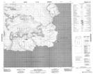
048C13 Cape York Topographic Map at 1:50,000 scale
048C14 Sargent Point Topographic Map at 1:50,000 scale
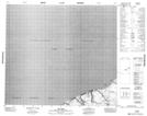
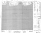
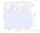
048C15 No Title Topographic Map at 1:50,000 scale
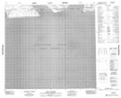
048C16 No Title Topographic Map at 1:50,000 scale
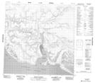
048E09 Hope Monument Topographic Map at 1:50,000 scale
048E10 Phoenix Head Topographic Map at 1:50,000 scale
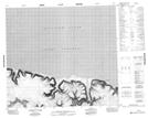
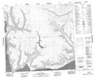
048E11 Dundas Harbour Topographic Map at 1:50,000 scale
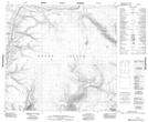
048E12 Cape Rosamond Topographic Map at 1:50,000 scale
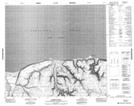
048E13 No Title Topographic Map at 1:50,000 scale
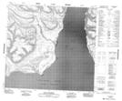
048F05 No Title Topographic Map at 1:50,000 scale
048F06 Cape Pyramid Topographic Map at 1:50,000 scale
048F09 Cape Bullen Topographic Map at 1:50,000 scale
048F12 No Title Topographic Map at 1:50,000 scale
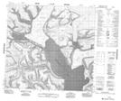
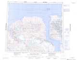
048C Arctic Bay Topographic Map at 1:250,000 scale
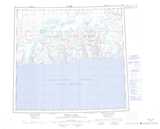
048D Navy Board Inlet Topographic Map at 1:250,000 scale
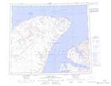
048E Dundas Harbour Topographic Map at 1:250,000 scale
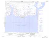
048F Powell Inlet Topographic Map at 1:250,000 scale
058D Cape Clarence Topographic Map at 1:250,000 scale
058E Maxwell Bay Topographic Map at 1:250,000 scale