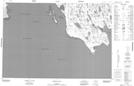
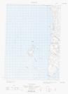
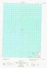
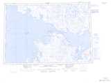
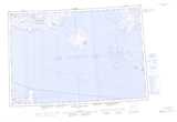
Maps showing Royal Geographical Society Islands, Nunavut
Royal Geographical Society Islands is a Island located in Nunavut.
- Latitude: 68° 56' North (decimal: 68.9333000)
- Longitude: 100° 15' West (decimal: -100.2499999)
- Topography Feature Category: Island
- Geographical Feature: Islands
- Canadian Province/Territory: Nunavut
- Atlas of Canada Locator Map: Royal Geographical Society Islands
- GPS Coordinate Locator Map: Royal Geographical Society Islands Lat/Long
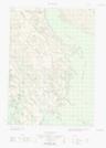
Royal Geographical Society Islands NTS Map Sheets