Canada Topographic Maps

Yeoman Island Topo Maps

Topography maps and Latitude/Longitude Location

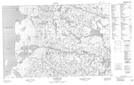
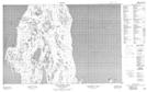
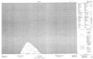
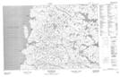
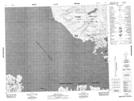
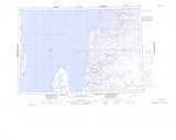
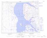
Maps showing Yeoman Island, Nunavut

Yeoman Island is a Island located in Nunavut.

  • Latitude: 72° 15' 50'' North   (decimal: 72.2638888)
  • Longitude: 85° 56' 50'' West   (decimal: -85.947222)
  • Topography Feature Category: Island
  • Geographical Feature: Island
  • Canadian Province/Territory: Nunavut
  • Atlas of Canada Locator Map: Yeoman Island
  • GPS Coordinate Locator Map: Yeoman Island Lat/Long

Yeoman Island NTS Map Sheets

047B02 Folster Lake Topographic Map at 1:50,000 scale

047B03 Wales Island North Topographic Map at 1:50,000 scale

047B06 No Title Topographic Map at 1:50,000 scale

047B07 Mackar Inlet Topographic Map at 1:50,000 scale

048B07 Red Valley Topographic Map at 1:50,000 scale

047B Committee Bay Topographic Map at 1:250,000 scale

048B Moffet Inlet Topographic Map at 1:250,000 scale

 
Buy Topographic Maps DVD
Newsletter Sign-up

Yes, I want to receive map store discounts.


Bookmark and Share