095F Virginia Falls Topographic Maps
Maps for the Virginia Falls map sheet 095F at 1:250,000 scale are available in 5 versions:
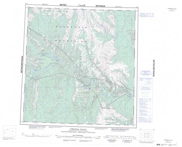
Topographic Map of Virginia Falls
1:50,000 Scale Topos for Virginia Falls 095F:
 |
 |
 |
 |
 |
 |
 |
 |
 |
 |
 |
 |
 |
 |
 |
 |
095F Related Maps:
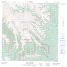
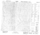
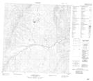
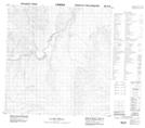
095F Virginia Falls
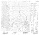
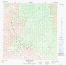
095F01 Clausen Creek
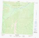
095F02 No Title
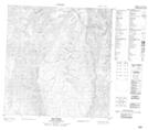
095F03 No Title
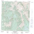
095F04 No Title
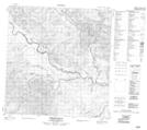
095F05 Mary River
095F06 May Creek
095F07 Second Canyon
095F08 First Canyon
095F09 Sundog Creek
095F10 No Title
095F11 Vera Creek
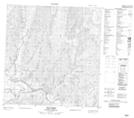
095F12 Virginia Falls
095F13 Clearwater Creek
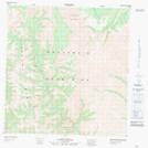
095F14 Wrigley Creek
095F15 Corridor Creek
095F16 No Title
095F01 Clausen Creek
095F02 No Title
095F03 No Title
095F04 No Title
095F05 Mary River
095F06 May Creek
095F07 Second Canyon
095F08 First Canyon
095F09 Sundog Creek
095F10 No Title
095F11 Vera Creek
095F12 Virginia Falls
095F13 Clearwater Creek
095F14 Wrigley Creek
095F15 Corridor Creek
095F16 No Title
