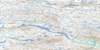
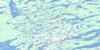
Leith Peninsula Topo Map
Free Topo Maps Downloadable Online: 086E
086E Leith Peninsula Topo Map
To view this map, mouse over the map preview on the right.
You can also download this topo map for free:
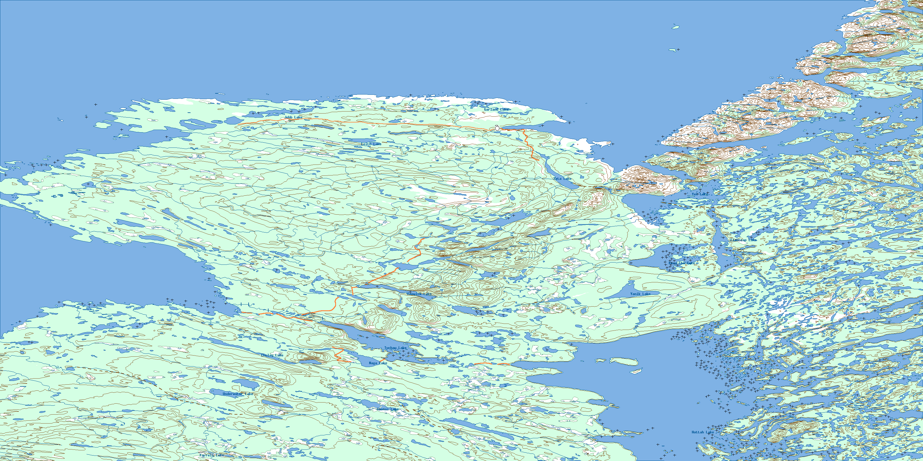
086E Leith Peninsula high-resolution topo map image.
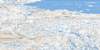
Maps for the Leith Peninsula map sheet 086E at 1:250,000 scale are also available in these 4 versions:
Leith Peninsula Surrounding Area Topos (NTS 086)
 |
 |
 |
 |
 |
 |
 |
 |
 |
 |
 |
 |
 |
 |
 |
 |
© Department of Natural Resources Canada. All rights reserved.
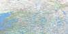
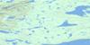
086E Leith Peninsula Area Topo Maps at 1:50,000
 |
 |
 |
 |
 |
 |
 |
 |
 |
 |
 |
|
 |
 |
 |
 |
© Department of Natural Resources Canada. All rights reserved.
© Department of Natural Resources Canada. All rights reserved.
086E Related Maps:
086E Leith Peninsula086E01 Hottah Lake East
086E02 Kechinta Island
086E03 Thomas Lake
086E04 Underwater Lake
086E05 Gordon Point
086E06 Fenwick Lake
086E07 Yanik Lake
086E08 Fishtrap Lake
086E09 Rainy Lake
086E10 Sawmill Bay
086E11 Leith Lake
086E12 Neiland Bay
086E13 Point Leith
086E14 Jebb Lake
086E15 Garland Lake
086E16 Charlton Bay
