Sawmill Bay Topo Map Online
Download Free Topo Map Sheet 086E10 at 1:50,000 scale
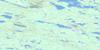
086E10 Sawmill Bay Topo Map
To view this map, mouse over the map preview on the right.
You can also download this topo map for free:
086E10 Sawmill Bay high-resolution topo map image.
Maps for the Sawmill Bay topo map sheet 086E10 at 1:50,000 scale are also available in these versions:
Sawmill Bay Surrounding Area Topo Maps
 |
 |
 |
 |
 |
 |
 |
 |
 |
 |
 |
|
 |
 |
 |
 |
© Department of Natural Resources Canada. All rights reserved.
Sawmill Bay Gazetteer
The following places can be found on topographic map sheet 086E10 Sawmill Bay:
Sawmill Bay Topo Map: Bays
Gunbarrel InletMcTavish Arm
Sawmill Bay
Sawmill Bay Topo Map: Capes
Leith PeninsulaSawmill Bay Topo Map: Channels
Hloo ChannelSawmill Bay Topo Map: Islands
Richardson IslandSawmill Bay Topo Map: Lakes
Grand lac de l'OursGreat Bear Lake
Yen Lake
Yeta Lake
Sawmill Bay Topo Map: Unincorporated areas
Sawmill Bay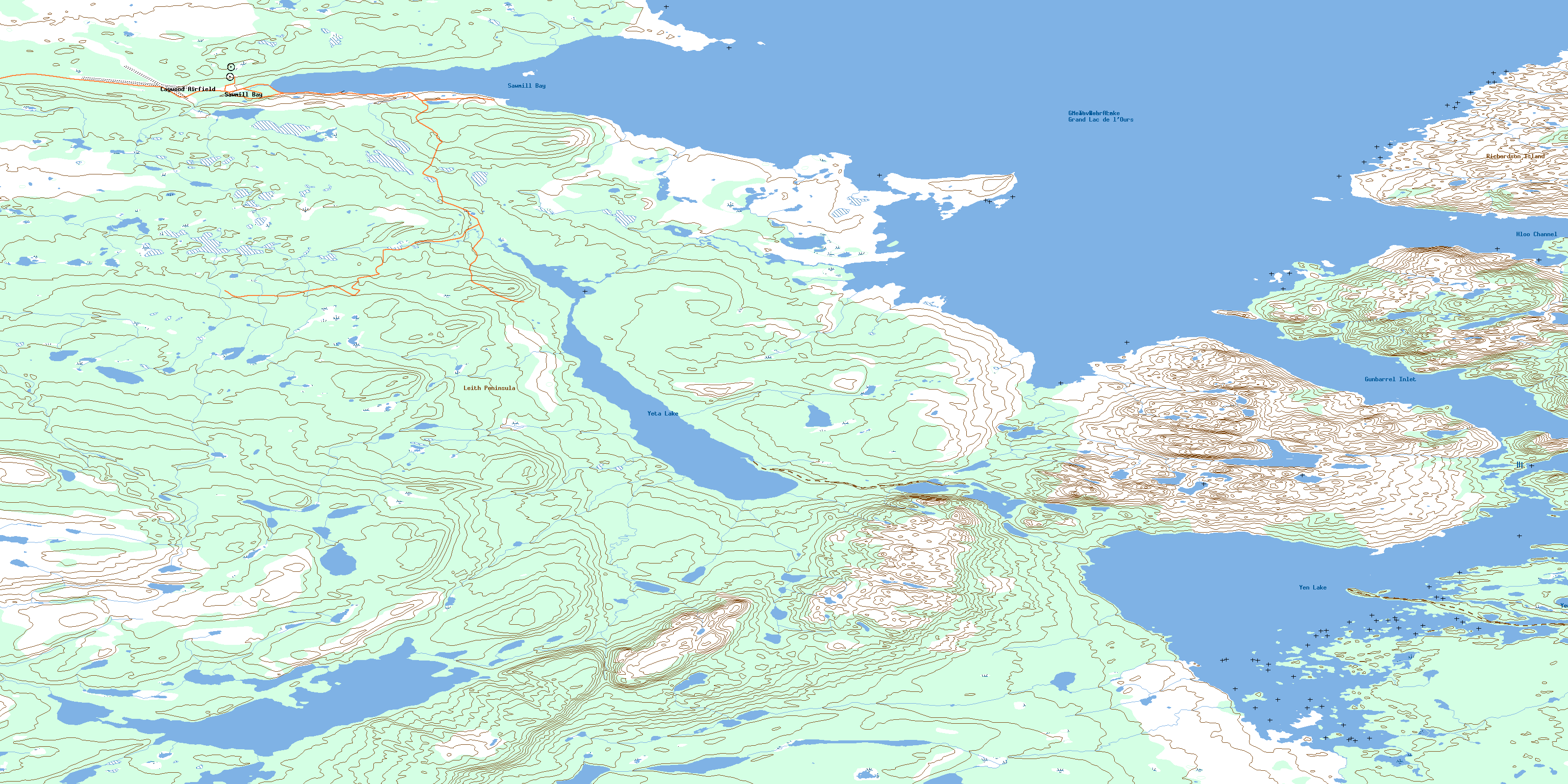
© Department of Natural Resources Canada. All rights reserved.
086E Related Maps:
086E Leith Peninsula086E01 Hottah Lake East
086E02 Kechinta Island
086E03 Thomas Lake
086E04 Underwater Lake
086E05 Gordon Point
086E06 Fenwick Lake
086E07 Yanik Lake
086E08 Fishtrap Lake
086E09 Rainy Lake
086E10 Sawmill Bay
086E11 Leith Lake
086E12 Neiland Bay
086E13 Point Leith
086E14 Jebb Lake
086E15 Garland Lake
086E16 Charlton Bay
