Mackenzie Delta Topo Map
Free Topo Maps Downloadable Online: 107C
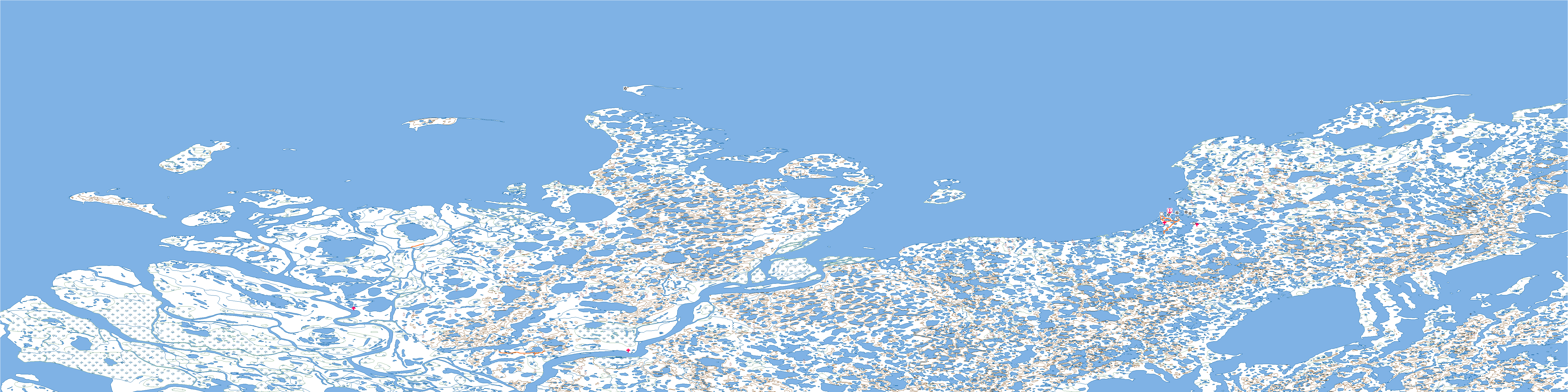
107C Mackenzie Delta Topo Map
To view this map, mouse over the map preview on the right.
You can also download this topo map for free:
107C Mackenzie Delta high-resolution topo map image.
Maps for the Mackenzie Delta map sheet 107C at 1:250,000 scale are also available in these 4 versions:
Mackenzie Delta Surrounding Area Topos (NTS 107)
 |
|
 |
 |
 |
 |
© Department of Natural Resources Canada. All rights reserved.
107C Mackenzie Delta Area Topo Maps at 1:50,000

|

|

|

|

|

|

|

|

|

|

|

|
© Department of Natural Resources Canada. All rights reserved.
© Department of Natural Resources Canada. All rights reserved.
107C Related Maps:
107C Mackenzie Delta107C01E No Title
107C01W No Title
107C02E No Title
107C02W No Title
107C03E Tununuk
107C03W Tununuk
107C04E Ellice Island
107C04W Ellice Island
107C05E Garry Island
107C05W Garry Island
107C06E Denis High Hill
107C06W Denis High Hill
107C07E Kittigazuit
107C07W Kittigazuit
107C08E No Title
107C08W No Title
107C09E Hutchison Bay
107C09W Hutchison Bay
107C10W Kidluit Bay
107C11E Hansen Harbour
107C11W Hooper Island
107C12E Pelly Island
107C12W Pelly Island
