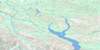
Mcquesten Topo Map
Free Topo Maps Downloadable Online: 115P
115P Mcquesten Topo Map
To view this map, mouse over the map preview on the right.
You can also download this topo map for free:
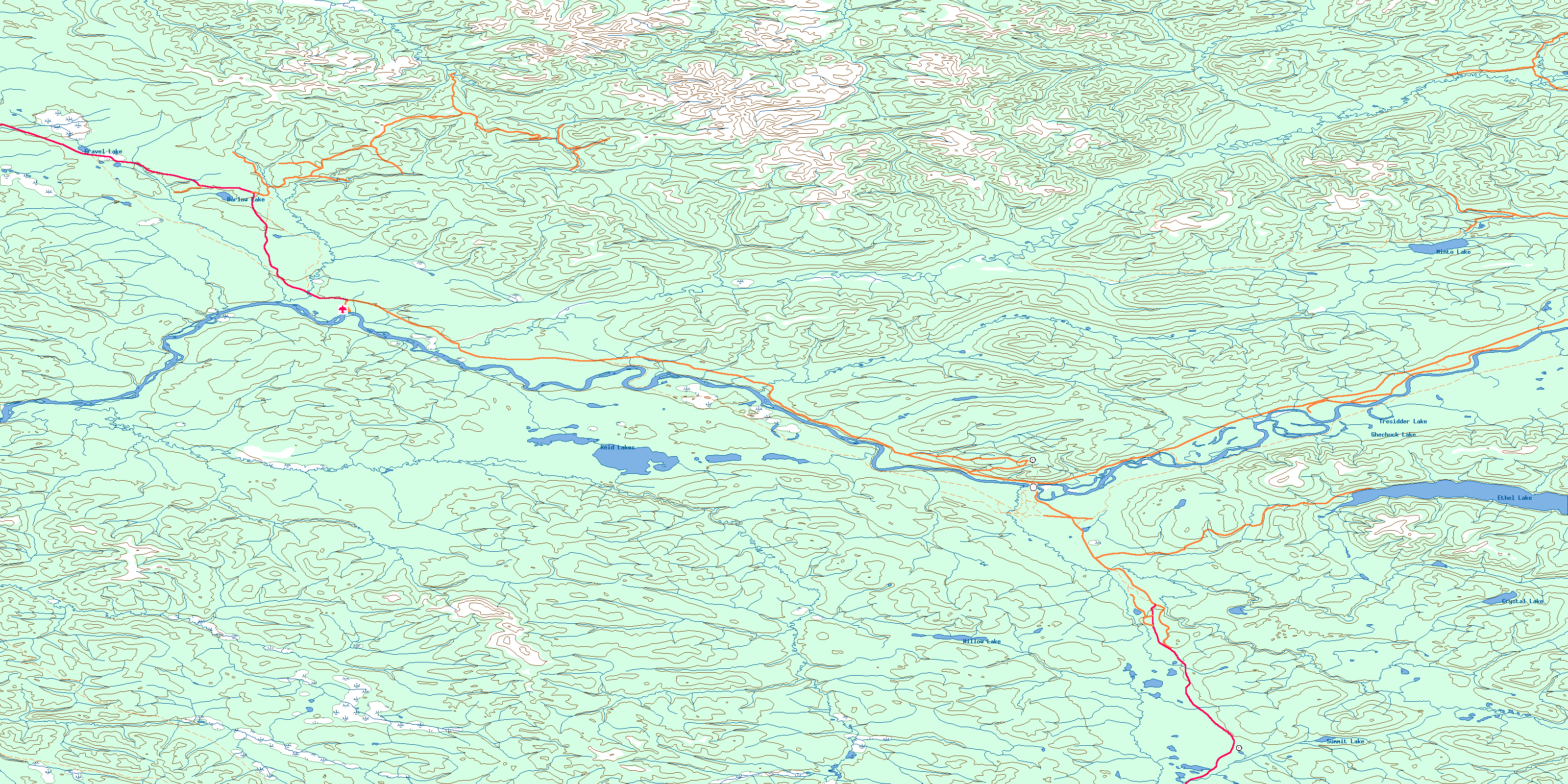
115P Mcquesten high-resolution topo map image.
Maps for the Mcquesten map sheet 115P at 1:250,000 scale are also available in these 4 versions:
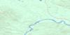
Mcquesten Surrounding Area Topos (NTS 115)
 |
 |
||
 |
 |
||
 |
 |
||
 |
 |
© Department of Natural Resources Canada. All rights reserved.
115P Mcquesten Area Topo Maps at 1:50,000
 |
 |
 |
 |
 |
 |
 |
 |
 |
 |
 |
 |
 |
 |
 |
 |
© Department of Natural Resources Canada. All rights reserved.
© Department of Natural Resources Canada. All rights reserved.
115P Related Maps:
115P Mcquesten115P01 Crystal Lake
115P02 Willow Lake
115P03 Coldspring Mountain
115P04 Grand Valley Creek
115P05 Pirate Creek
115P06 Reid Lakes
115P07 Stewart Crossing
115P08 Ethel Lake
115P09 Minto Lake
115P10 Moose Creek
115P11 Mcquesten
115P12 Gravel Creek
115P13 Gravel Lake
115P14 Clear Creek
115P15 Sprague Creek
115P16 Seattle Creek
