Free Indin Lake Topographic Map
Topo maps you can print: 086B Indin Lake
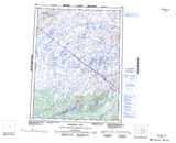
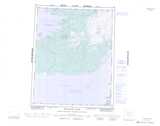
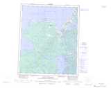
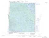
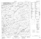
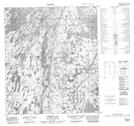
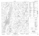
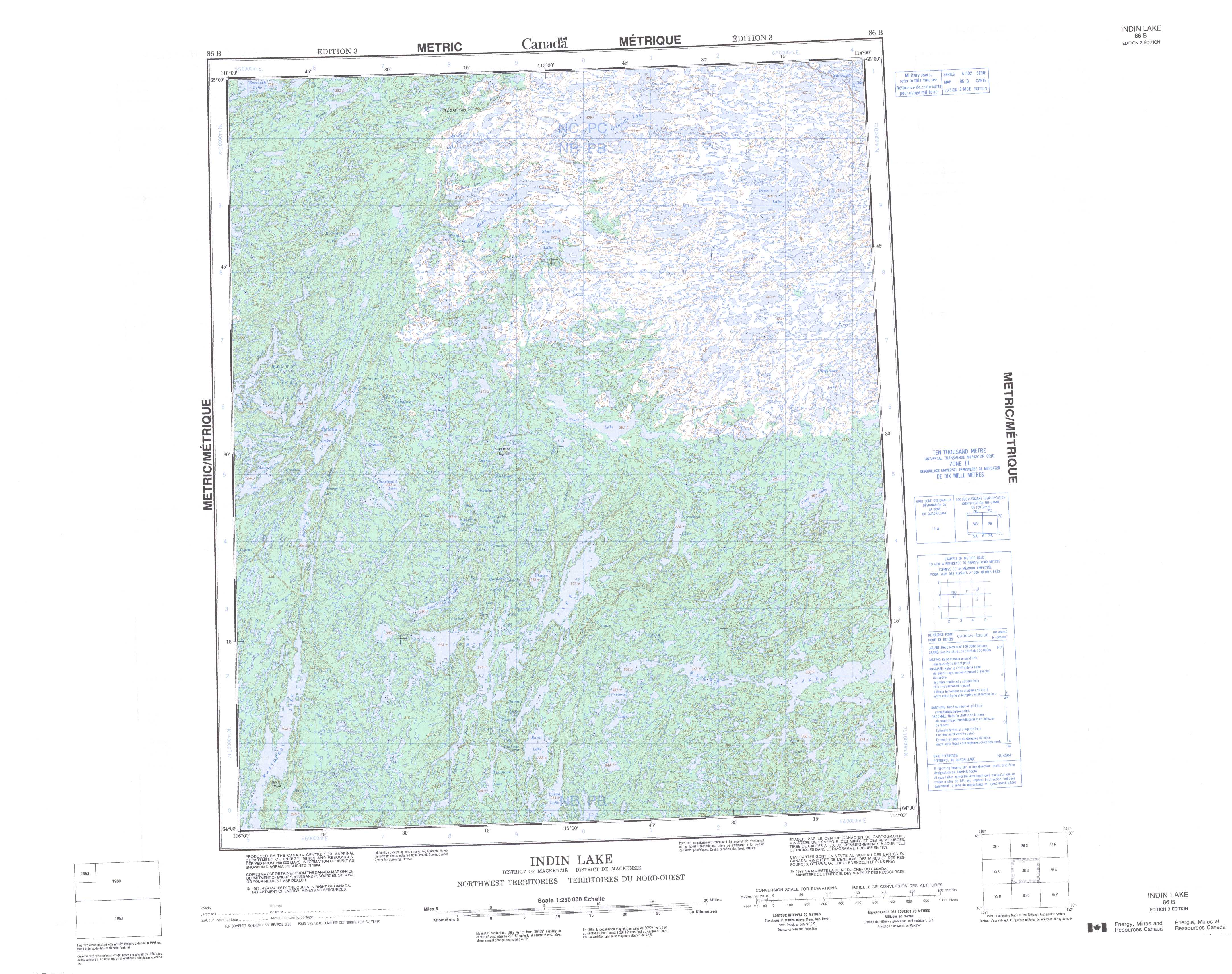
086B Indin Lake Topo Map
To view this map, mouse over the map preview on the right.
You can also download and print this topo map for free:
086B Indin Lake low-resolution printable topographic map.
A high-resolution map of Indin Lake is available on Data-DVD.
Maps for the Indin Lake map sheet 086B at 1:250,000 scale are also available in these 4 versions:
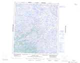
Indin Lake Surrounding Area Topographic Maps at 1:250,000 scale (NTS 086)
 |
 |
 |
 |
 |
 |
 |
 |
 |
 |
 |
 |
 |
 |
 |
 |
© Department of Natural Resources Canada. All rights reserved.
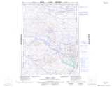
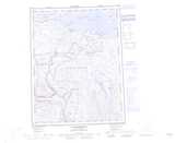
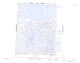
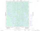
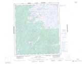
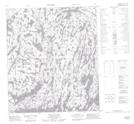
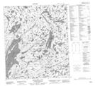
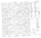
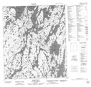
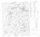
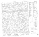
Indin Lake Topo Maps at 1:50,000 (NTS 086B)
 |
 |
 |
 |
 |
 |
 |
 |
 |
 |
 |
 |
 |
 |
 |
 |
© Department of Natural Resources Canada. All rights reserved.
© Department of Natural Resources Canada. All rights reserved.
086B Related Maps:
086B Indin Lake086B01 Bean Lake
086B02 Cotterill Lake
086B03 Ranji Lake
086B04 Mattberry Lake
086B05 Norris Lake
086B06 Chalco Lake
086B07 Strachan Lake
086B08 Pate Lake
086B09 Christison Lake
086B10 Truce Lake
086B11 Origin Lake
086B12 Arseno Lake
086B13 Rodrigues Lake
086B14 Mesa Lake
086B15 Grenville Lake
086B16 Drumlin Lake
