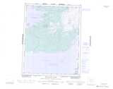
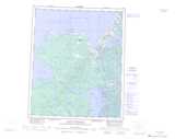
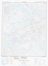
Free Calder River Topographic Map
Topo maps you can print: 086F Calder River
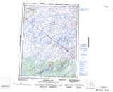
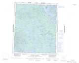
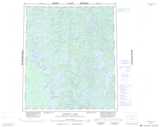
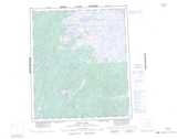
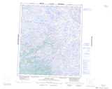
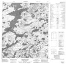
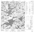
086F Calder River Topo Map
To view this map, mouse over the map preview on the right.
You can also download and print this topo map for free:
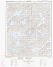
086F Calder River low-resolution printable topographic map.
A high-resolution map of Calder River is available on Data-DVD.
Maps for the Calder River map sheet 086F at 1:250,000 scale are also available in these 4 versions:
Calder River Surrounding Area Topographic Maps at 1:250,000 scale (NTS 086)
 |
 |
 |
 |
 |
 |
 |
 |
 |
 |
 |
 |
 |
 |
 |
 |
© Department of Natural Resources Canada. All rights reserved.
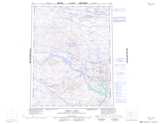
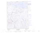
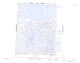
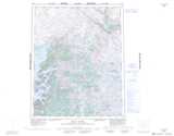
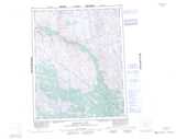
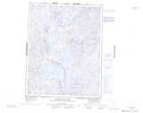
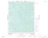
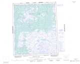
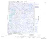
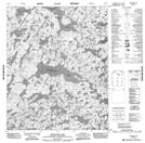
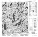
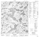
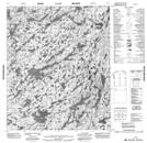
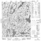
Calder River Topo Maps at 1:50,000 (NTS 086F)
 |
 |
 |
 |
 |
 |
 |
 |
 |
 |
 |
 |
 |
 |
 |
 |
© Department of Natural Resources Canada. All rights reserved.

© Department of Natural Resources Canada. All rights reserved.
086F Related Maps:
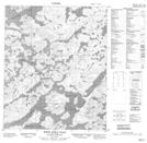
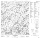
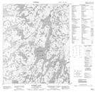
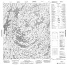
086F Calder River086F01 Turmoil Lake
086F02 Wopmay Lake
086F03 Ellington Lake
086F04 Longtom Lake
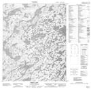
086F05 Grouard Lake
086F06 Lever Lake
086F07 No Title
086F08 Robb Lake
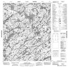
086F09 Bishop Lake
086F10 Hansen Lake
086F11 Simon Lake
086F12 White Eagle Falls
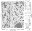
086F13 Moody Lake
086F14 Hooker Lake
086F15 Breadner Lake
086F16 Broken Dish Lake
