Free Larsen Creek Topographic Map
Topo maps you can print: 116A Larsen Creek
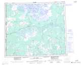
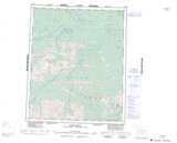
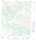
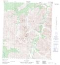
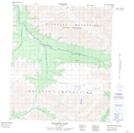
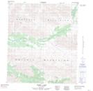
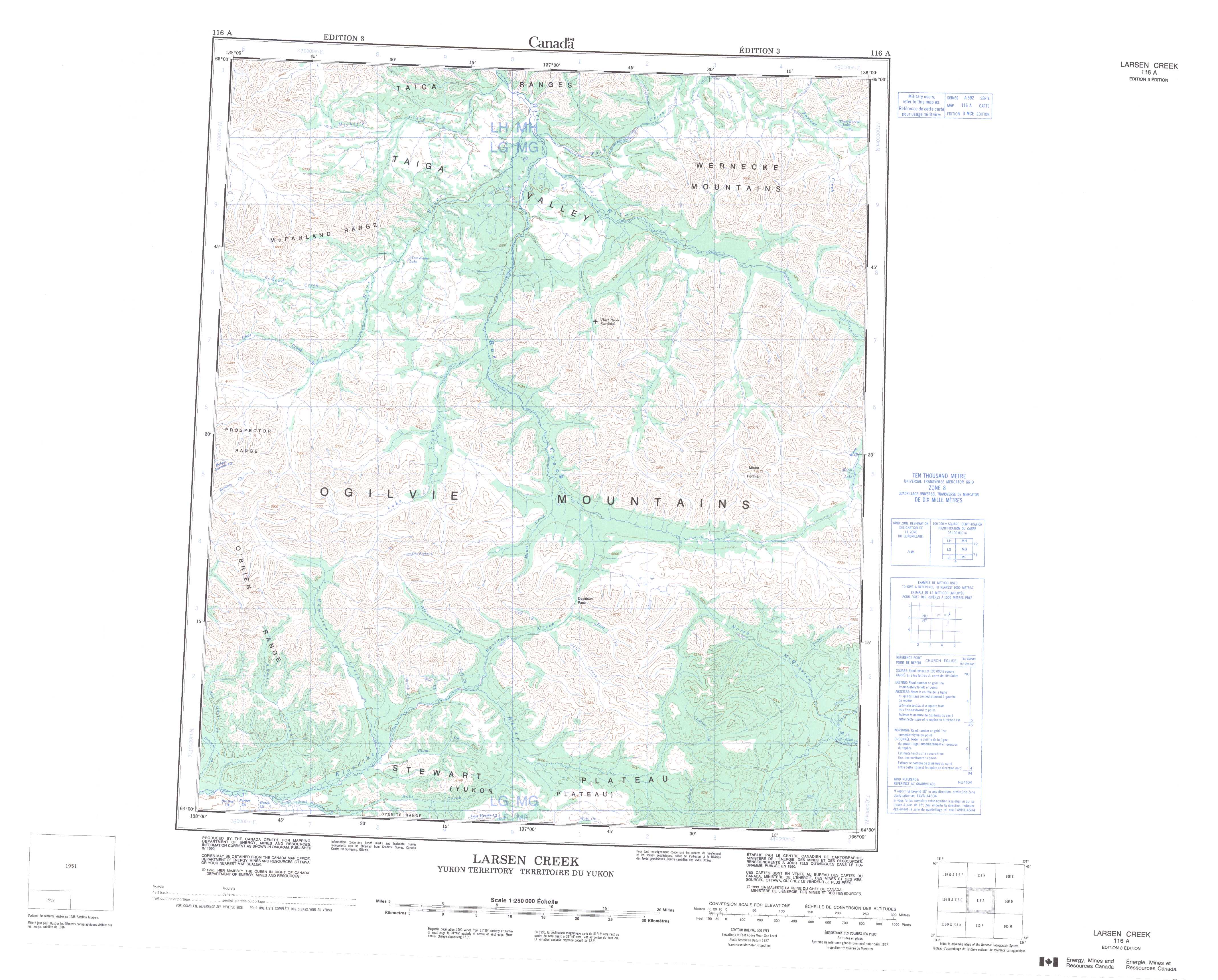
116A Larsen Creek Topo Map
To view this map, mouse over the map preview on the right.
You can also download and print this topo map for free:
116A Larsen Creek low-resolution printable topographic map.
A high-resolution map of Larsen Creek is available on Data-DVD.
Maps for the Larsen Creek map sheet 116A at 1:250,000 scale are also available in these 4 versions:
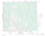
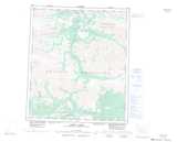
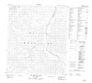
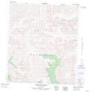
Larsen Creek Surrounding Area Topographic Maps at 1:250,000 scale (NTS 116)
 |
 |
||
 |
 |
||
 |
 |
||
 |
 |
© Department of Natural Resources Canada. All rights reserved.
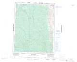
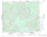
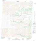
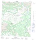
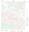
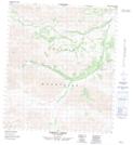
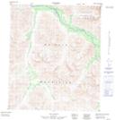
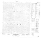
Larsen Creek Topo Maps at 1:50,000 (NTS 116A)
 |
 |
 |
 |
 |
 |
 |
 |
 |
 |
 |
 |
 |
 |
 |
 |
© Department of Natural Resources Canada. All rights reserved.
© Department of Natural Resources Canada. All rights reserved.
116A Related Maps:
116A Larsen Creek116A01 North Mcquesten River
116A02 Larsen Creek
116A03 Clum Creek
116A04 Aussie Creek
116A05 Hamilton Creek
116A06 One Eighty Lake
116A07 Davidson Pass
116A08 Worm Lake
116A09 No Title
116A10 No Title
116A11 Two Beaver Lake
116A12 Lomond Creek
116A13 No Title
116A14 West Hart River
116A15 No Title
116A16 No Title
