Free Hart River Topographic Map
Topo maps you can print: 116H Hart River
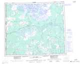
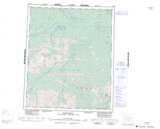
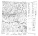
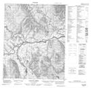
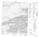
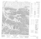
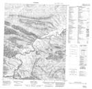
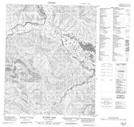
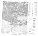
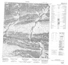
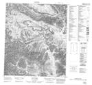
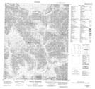
116H Hart River Topo Map
To view this map, mouse over the map preview on the right.
You can also download and print this topo map for free:
116H Hart River low-resolution printable topographic map.
A high-resolution map of Hart River is available on Data-DVD.
Maps for the Hart River map sheet 116H at 1:250,000 scale are also available in these 4 versions:
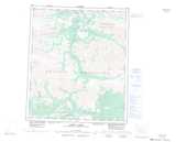
Hart River Surrounding Area Topographic Maps at 1:250,000 scale (NTS 116)
 |
 |
||
 |
 |
||
 |
 |
||
 |
 |
© Department of Natural Resources Canada. All rights reserved.
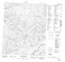
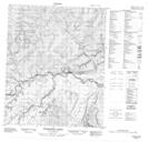
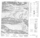
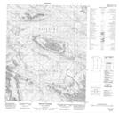
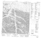
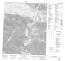
Hart River Topo Maps at 1:50,000 (NTS 116H)
 |
 |
 |
 |
 |
 |
 |
 |
 |
 |
 |
 |
 |
 |
 |
 |
© Department of Natural Resources Canada. All rights reserved.

© Department of Natural Resources Canada. All rights reserved.
116H Related Maps:
116H Hart River116H01 Mount Dempster
116H02 Pat Lake
116H03 Mount Kinney
116H04 Blackstone Lake
116H05 Mount Mccullum
116H06 Mount Bunoz
116H07 Mount Fyfe
116H08 Mount Turner
116H09 Hungry Lake
116H10 Esau Hill
116H11 Mount Carter
116H12 Mount Cronkhite
116H13 Scriver Creek
116H14 Enterprise Creek
116H15 Pothole Lake
116H16 Canyon Creek
