Cabot Islands Satellite Image Map
Download Free Aerial Photo 002F03 at 1:50,000 scale
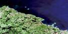
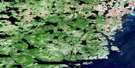
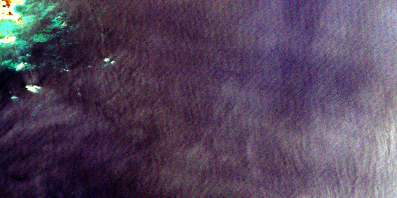
Cabot Islands Satellite Imagery
To view this satellite map, mouse over the air photo on the right.
You can also download this satellite image map for free:
002F03 Cabot Islands high-resolution satellite image map.
Maps for the Cabot Islands aerial map sheet 002F03 at 1:50,000 scale are also available in these versions:
Cabot Islands Surrounding Area Aerial Photo Maps
 |
|||
 |
|||
 |
 |
© Department of Natural Resources Canada. All rights reserved.
Cabot Islands Gazetteer
The following places can be found on satellite image map 002F03 Cabot Islands:
Cabot Islands Satellite Image: Bays
Bonavista BayCape Cove
Norris Cove
Cabot Islands Satellite Image: Beaches
Curtis BeachCabot Islands Satellite Image: Capes
Cape FreelsCape Island
Eastern Point
High Point
South Bill
Tulks Point
Cabot Islands Satellite Image: Channels
Cape GutCabot Islands Satellite Image: Islands
Bleak IsletButterfly Islets
Cabot Island
Cabot Islands
Cape Island
Cobblers Island
Flowers Island
Keans Island
Little Cabot Island
Pinchards Island
Pouch Island
Puffin Island
Stevensons Islets
Turr Island
Cabot Islands Satellite Image: Lakes
Cape PondRocky Pond
Sand Bank Pond
Cabot Islands Satellite Image: Mountains
Owl HillCabot Islands Satellite Image: Shoals
Black ReefCharge Rock
Cobblers Fishing Rock
Cobblers Rocks
Davis Long Rock
East Cobbler Rock
East Reefs
Easter Gull Rock
Gullivers Ground
Gunner Rock
Halfway Reef
Halfway Rocks
Hewitt Rock
Hincks Rocks
Inches Rock
Ireland Shoal
Jacobs Ground
James Gills Rock
Johnsons Ground
Kenny's Rocks
Lapstone's Rocks
Little Stevensons Rock
Margery Rock
Mars Rock
Middle Rock
New Ground
Norris Rock
Parkers Ground
Sankers Rock
Seven Tenner Rocks
South Rock
Stinking Banks
The Three Rocks
West Cobbler Rock
Wester Gull Rock
Cabot Islands Satellite Image: Towns
Badger's Quay-Valleyfield-Pool's IslandBadger's Quay-Valleyfield-Pool's Island-Wesleyville-Newtown
New-Wes-Valley
Cabot Islands Satellite Image: Unincorporated areas
Cape FreelsCape Island
Pinchards Island
© Department of Natural Resources Canada. All rights reserved.
