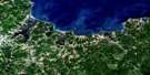
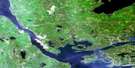
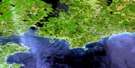
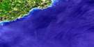
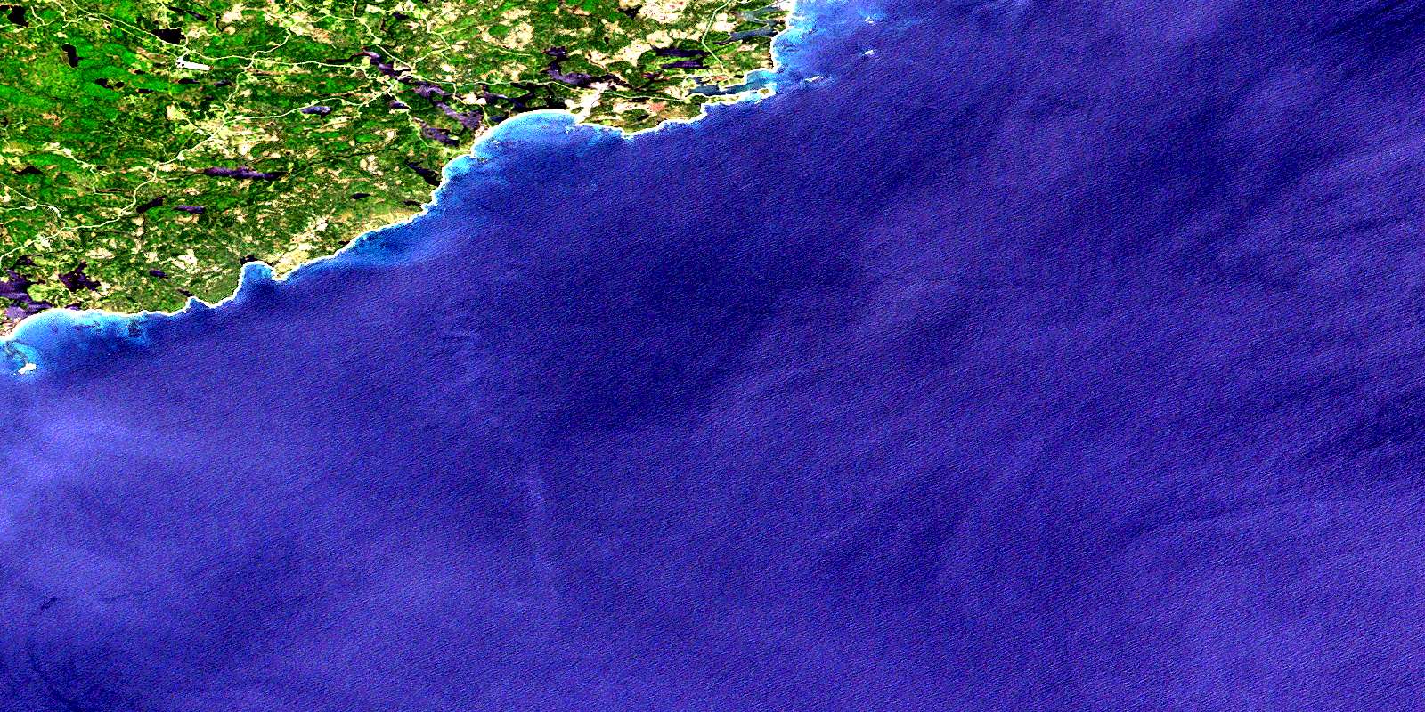
Framboise Satellite Image Map
Download Free Aerial Photo 011F09 at 1:50,000 scale
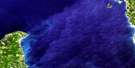
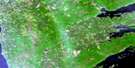
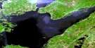
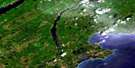
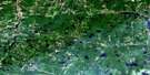
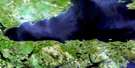
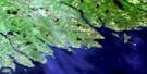
Framboise Satellite Imagery
To view this satellite map, mouse over the air photo on the right.
You can also download this satellite image map for free:
011F09 Framboise high-resolution satellite image map.
Maps for the Framboise aerial map sheet 011F09 at 1:50,000 scale are also available in these versions:
Framboise Surrounding Area Aerial Photo Maps
 |
 |
 |
 |
 |
 |
 |
 |
 |
 |
 |
|
 |
 |
© Department of Natural Resources Canada. All rights reserved.
Framboise Gazetteer
The following places can be found on satellite image map 011F09 Framboise:
Framboise Satellite Image: Bays
Bear CoveCapelin Cove
English Cove
Fourchu Bay
Fourchu Harbour
Fourchu Inlet
Fox Cove
Framboise Cove
Hardys Cove
Kate Rock Cove
Kelpy Cove
Long Beach Cove
MacLeans Cove
McLeods Cove
North Arm Breeches Lake
Seal Rock Cove
Shooting Cove
Strachans Cove
Framboise Satellite Image: Beaches
Bend BreakerLong Beach
MacIntoshs Inner Breaker
MacIntoshs Outer Breaker
Marie Joseph Breaker
Morrisons Beach
Morrisons Breaker
St. Esprit Beach
The Bar
Framboise Satellite Image: Capes
Barren PointBear Cove Point
Canns Point
East Head
Fourchu Head
Fox Cove North Cape
Fox Cove South Cape
French Point
MacKays Point
Munros Point
Rafuse Point
Red Cape
Southern Head
The Tongue
Urquharts Point
West Head
Winging Point
Framboise Satellite Image: Channels
False PassageFramboise Gut
Fullers Gut
Marcoche Gut
Marie Joseph Gut
Mulcuish Gut
Framboise Satellite Image: Geographical areas
Cape BretonRichmond
Framboise Satellite Image: Islands
Big Henrys IslandButter Island
Cape Breton Island
Île du Cap-Breton
St. Esprit Island
Framboise Satellite Image: Lakes
Bagnell LakeBagnells Lake
Barren Lake
Bear Cove Pond
Bells Lake
Blue Lake
Breeches Lake
Canns Pond
Capelin Cove Lake
Church Lake
Cricket Lake
Crooked Lake
English Pond
Fishermans Lake
Five Island Lake
Fox Cove Lake
Framboise Round Lake
Hay Hill Lake
Lac du Rat
Little Lake
Little Lake
Long Beach Pond
Lower Kelpy Cove Lake
Lower Marie Joseph Lake
MacAskills Lakes
MacDermids Lake
MacKenzie Lake
MacKillops Lake
MacKillops Pond
MacKinnons Lake
MacLeans Lake
MacLeods Ponds
Marie Joseph Lake
Mary Anns Lake
Mulcuish Lake
Mullcuish Lake
Pattersons Lake
Peters Lake
Rat Lake
Red Lake
Rory Neils Lakes
Seal Rock Lake
Sgadan Lake
South Arm Breeches Lake
St. Esprit Lake
Stewarts Pond
Upper Kelpy Cove Lake
Upper Marie Joseph Lake
White Rocks Lake
Framboise Satellite Image: Mountains
White Rocks RidgeFramboise Satellite Image: Major municipal/district area - major agglomerations
Cape BretonRichmond
Framboise Satellite Image: Rivers
Bagnells RiverBlack Brook
Eel Brook
Ferguson River
Framboise River
Framboise River
Fullers River
Jessies Brook
Jimmy MacLeods Brook
Klondikes Brook
Little Johns Brook
MacCormicks Brook
MacKenzies River
MacLeods Brook
MacLeods Ponds Brook
Marie Joseph Brook
Mary Anns Brook
Middle River Framboise
Morrisons Brook
Northeast Framboise River
Rattling Brook
Rocky Brook
South Brook
Strachans Brook
Taylors Brook
West Branch of Marie Joseph Brook
Framboise Satellite Image: River features
MacLeods StillwatersMacQuinns Stillwaters
Framboise Satellite Image: Undersea features
Morrisons BreakerReads Rock
Seal Rock
Seal Rocks
Winging Point Shoal
Framboise Satellite Image: Shoals
Bad Neighbour ShoalBig Shoal
Dog Rocks
Flat Ledge
Fourchu Black Rocks
Fourchu Rock
Framboise Shoal
Georges Rocks
Goose Rocks
Gut Rock
Haliburton Shoal
Herring Shoal
Kate Rock
Liver Rock
Lorway Rock
Lorway Shoal
Outer Breaker Reef
Pot Rock
Reads Rock
Sea Dolphin Shoal
Seal Rock
Seal Rocks
Seal Rocks
The Washerwoman
Tilbury Reef
Tilbury Rocks
Winging Point Shoal
Yellow Rock
Framboise Satellite Image: Unincorporated areas
FourchuFramboise
Framboise Intervale
Lower St. Esprit
North Fourchu
North Framboise
Stirling
Framboise Satellite Image: Low vegetation
MacAulays HaymarshMalcolms Meadows
Munroes Barren
© Department of Natural Resources Canada. All rights reserved.
