Pointe Heath Satellite Image Map
Download Free Aerial Photo 012F04 at 1:50,000 scale
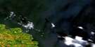
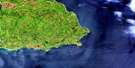
Pointe Heath Satellite Imagery
To view this satellite map, mouse over the air photo on the right.
You can also download this satellite image map for free:
012F04 Pointe Heath high-resolution satellite image map.
Maps for the Pointe Heath aerial map sheet 012F04 at 1:50,000 scale are also available in these versions:
Pointe Heath Surrounding Area Aerial Photo Maps
 |
|||
 |
© Department of Natural Resources Canada. All rights reserved.
Pointe Heath Gazetteer
The following places can be found on satellite image map 012F04 Pointe Heath:
Pointe Heath Satellite Image: Bays
Baie au CormoranBaie aux Goélands
Baie Cybèle
Baie de l'Est
Baie de l'Ouest
Baie de l'Outarde
Baie du Naufrage
Baie Gullcliff
Baie Sandtop
Baie West
Baie Wreck
Golfe du Saint-Laurent
Pointe Heath Satellite Image: Beaches
Plage CybèlePlage des Morses
Pointe Heath Satellite Image: Capes
Cap à la Crête de SableCap à Sommet de Sable
Cap aux Goélands
Cap Gull
Cap Sandtop
Côte de la Découverte
Côte de la Grande Traversée
Pointe au Cormoran
Pointe aux Bruyères
Pointe aux Oies
Pointe de la Lande
Pointe de l'Est
Pointe du Naufrage
Pointe Goose
Pointe Heath
Pointe Merrimack
Pointe Wreck
Pointes Jumelées
Pointe Heath Satellite Image: Channels
Détroit de Jacques-CartierPointe Heath Satellite Image: Cliffs
Falaise aux GoélandsFalaise Gull
Pointe Heath Satellite Image: Islands
Anticosti IslandÎle d'Anticosti
Pointe Heath Satellite Image: Lakes
Étang de l'ÉpaveÉtang du Canard
Étang Duck
Lac Billings
Lac de la Loutre
Lac du Renard
Lac Otter
Lac Richardson
Lac Schuchert
Lac Twenhofel
Pointe Heath Satellite Image: Marine navigation features
Phare de Heath PointPointe Heath Satellite Image: Conservation areas
Réserve écologique de la Pointe-HeathPointe Heath Satellite Image: Rivers
La Petite RivièrePetite rivière de la Loutre
Rivière au Cormoran
Rivière aux Loups Marins
Rivière du Renard
Rivière Seal
Ruisseau de la Chute
Ruisseau du Patrouilleur
Ruisseau du Pêcheur
Ruisseau du Trappeur
Ruisseau Gannet
Pointe Heath Satellite Image: Shoals
Plate-forme d'AnticostiPointe Heath Satellite Image: Unincorporated areas
Heath Point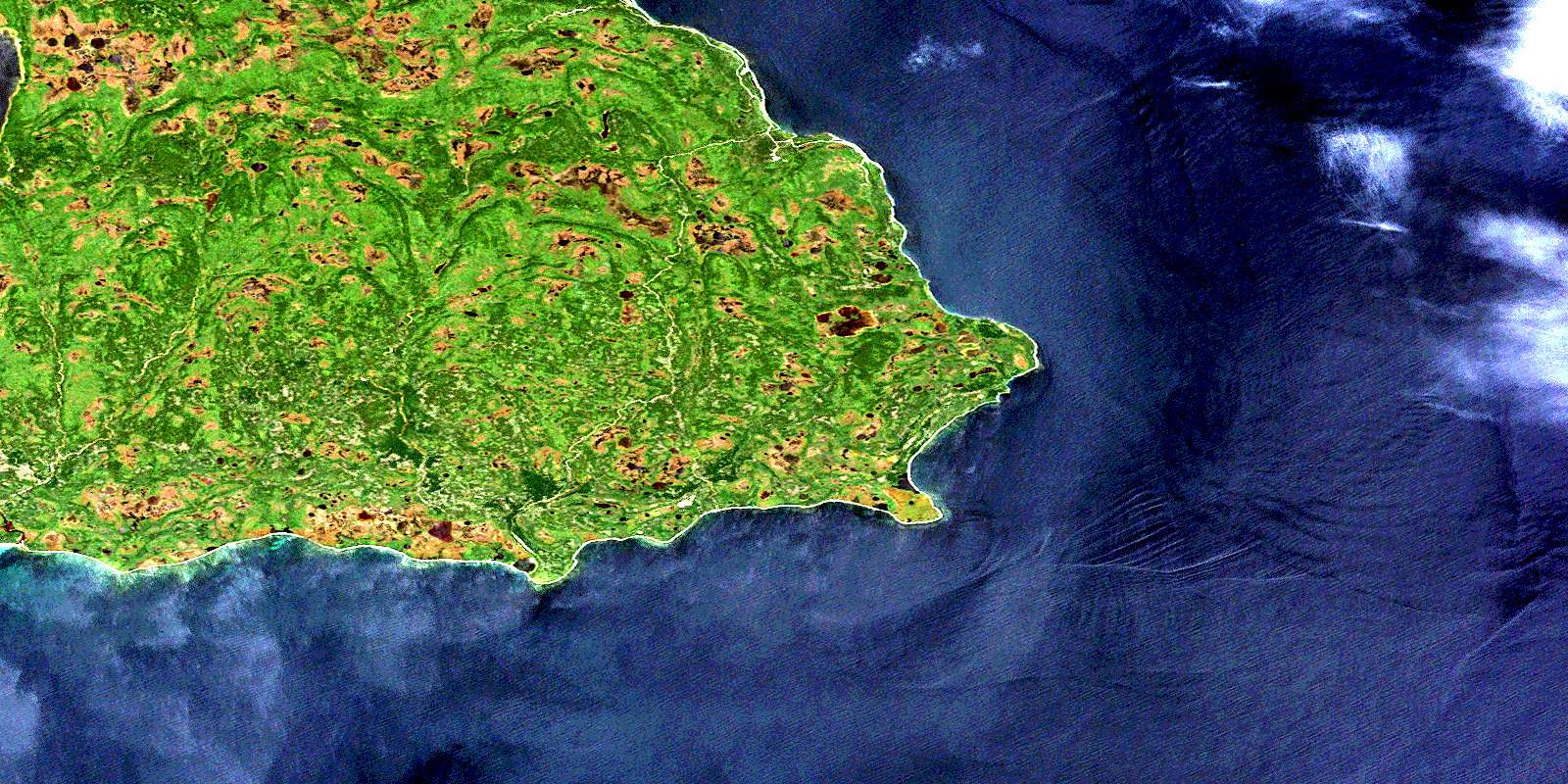
© Department of Natural Resources Canada. All rights reserved.
