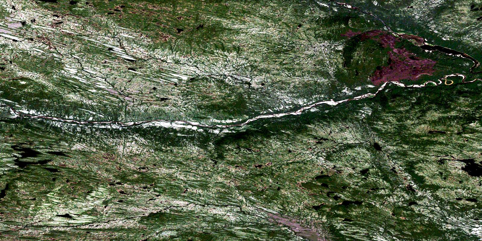
Mount Sawyer Satellite Image Map
Download Free Aerial Photo 013F14 at 1:50,000 scale
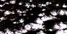
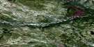
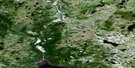
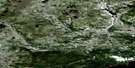
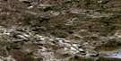
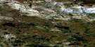
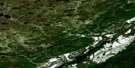
Mount Sawyer Satellite Imagery
To view this satellite map, mouse over the air photo on the right.
You can also download this satellite image map for free:
013F14 Mount Sawyer high-resolution satellite image map.
Maps for the Mount Sawyer aerial map sheet 013F14 at 1:50,000 scale are also available in these versions:
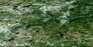
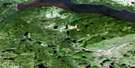
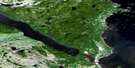
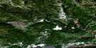
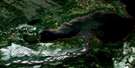
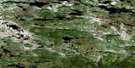
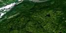
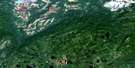
Mount Sawyer Surrounding Area Aerial Photo Maps
 |
 |
 |
 |
 |
 |
 |
 |
 |
 |
 |
 |
 |
 |
 |
 |
© Department of Natural Resources Canada. All rights reserved.
Mount Sawyer Gazetteer
The following places can be found on satellite image map 013F14 Mount Sawyer:
Mount Sawyer Satellite Image: Mountains
Mount SawyerMount Sawyer Satellite Image: Rivers
Goose CreekNaskaupi River
Red Wine River
Susan River
© Department of Natural Resources Canada. All rights reserved.
013F Related Maps:
013F Goose Bay013F01 Traverspine River
013F02 Mckenzie River
013F03 Pinus River
013F04 No Title
013F05 No Title
013F06 No Title
013F07 Goose River
013F08 Goose Bay
013F09 North West River
013F10 Cape Caribou River
013F11 No Title
013F12 Mountaineer Lakes
013F13 No Title
013F14 Mount Sawyer
013F15 Mount Elizabeth
013F16 Mokami Hill
