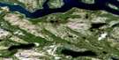
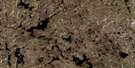
Wheeler Mountain Satellite Image Map
Download Free Aerial Photo 014E09 at 1:50,000 scale
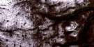
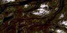
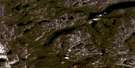
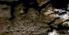
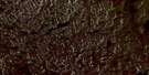
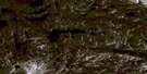
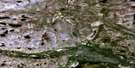
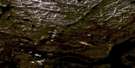
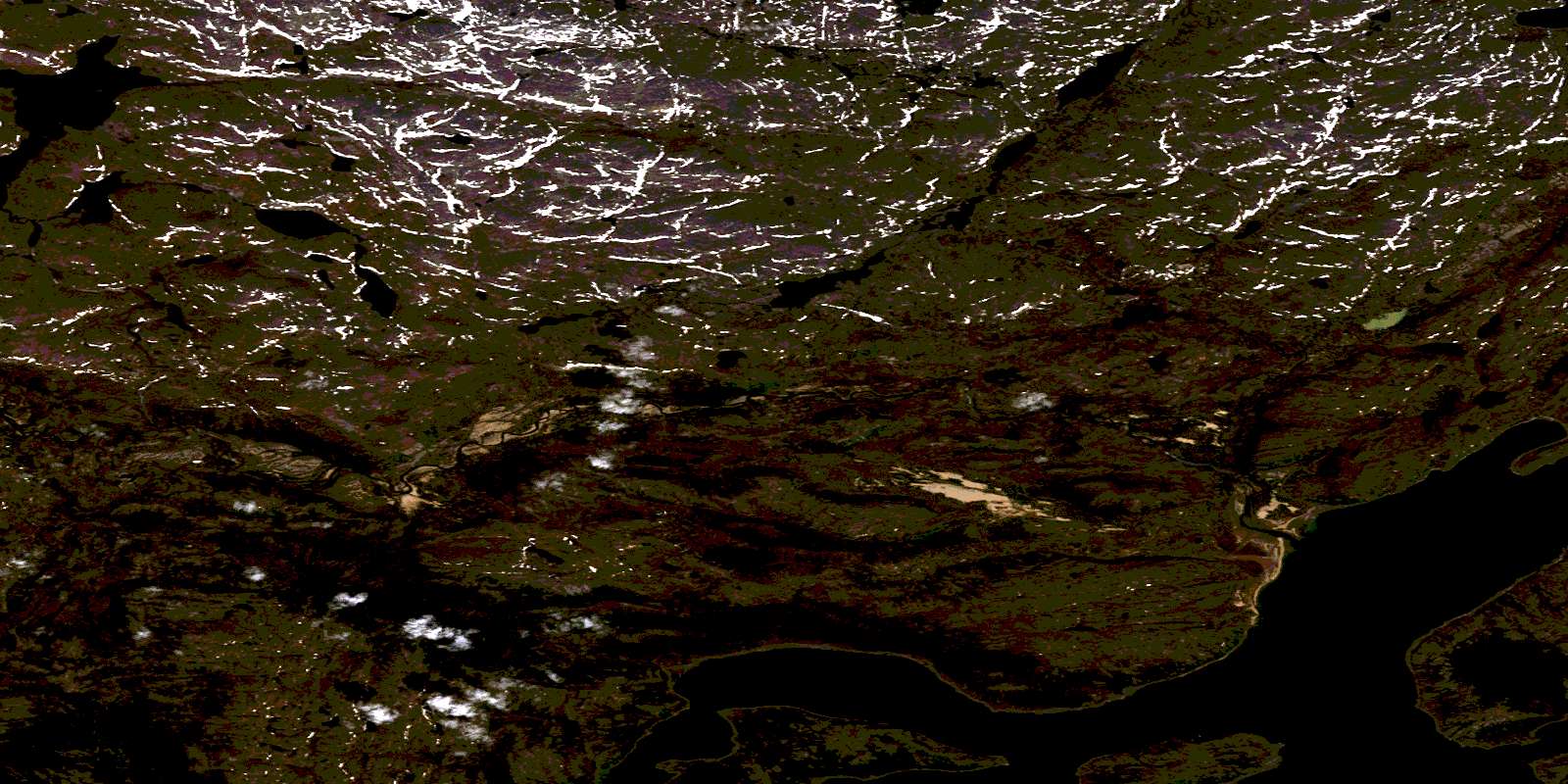
Wheeler Mountain Satellite Imagery
To view this satellite map, mouse over the air photo on the right.
You can also download this satellite image map for free:
014E09 Wheeler Mountain high-resolution satellite image map.
Maps for the Wheeler Mountain aerial map sheet 014E09 at 1:50,000 scale are also available in these versions:
Wheeler Mountain Surrounding Area Aerial Photo Maps
 |
 |
 |
 |
 |
 |
 |
 |
 |
 |
 |
 |
 |
 |
 |
 |
© Department of Natural Resources Canada. All rights reserved.
Wheeler Mountain Gazetteer
The following places can be found on satellite image map 014E09 Wheeler Mountain:
Wheeler Mountain Satellite Image: Bays
Cod Fish CoveMoss Harbour
Ogaksiukvik Bay
Okak Bay
Sipukat Bay
Siugak Bay
Tessiujarsuk Cove
Wheeler Mountain Satellite Image: Capes
Imnaksuk PointPusikartok Peninsula
Wheeler Mountain Satellite Image: Islands
Kikkektak IslandMartin Island
Okak Islands
Wheeler Mountain Satellite Image: Lakes
Bransons PondSipukat Lake
Wheeler Mountain Satellite Image: Mountains
Wheeler MountainWheeler Mountain Satellite Image: Rivers
North RiverSiorak Brook
Siugak Brook
© Department of Natural Resources Canada. All rights reserved.
014E Related Maps:
014E North River014E01 Alliger Lake
014E02 Staghorn Lake
014E03 Siamarni Forks
014E04 Lac Navieres
014E05 Lac Pilliamet
014E06 No Title
014E07 Umiakovik Lake
014E08 Okak Bay
014E09 Wheeler Mountain
014E10 No Title
014E11 No Title
014E12 Lac Courdon
014E13 Lac Lomier
014E14 No Title
014E15 No Title
014E16 Finger Hill
