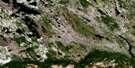
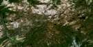
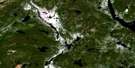
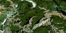
Lac Raudot Satellite Image Map
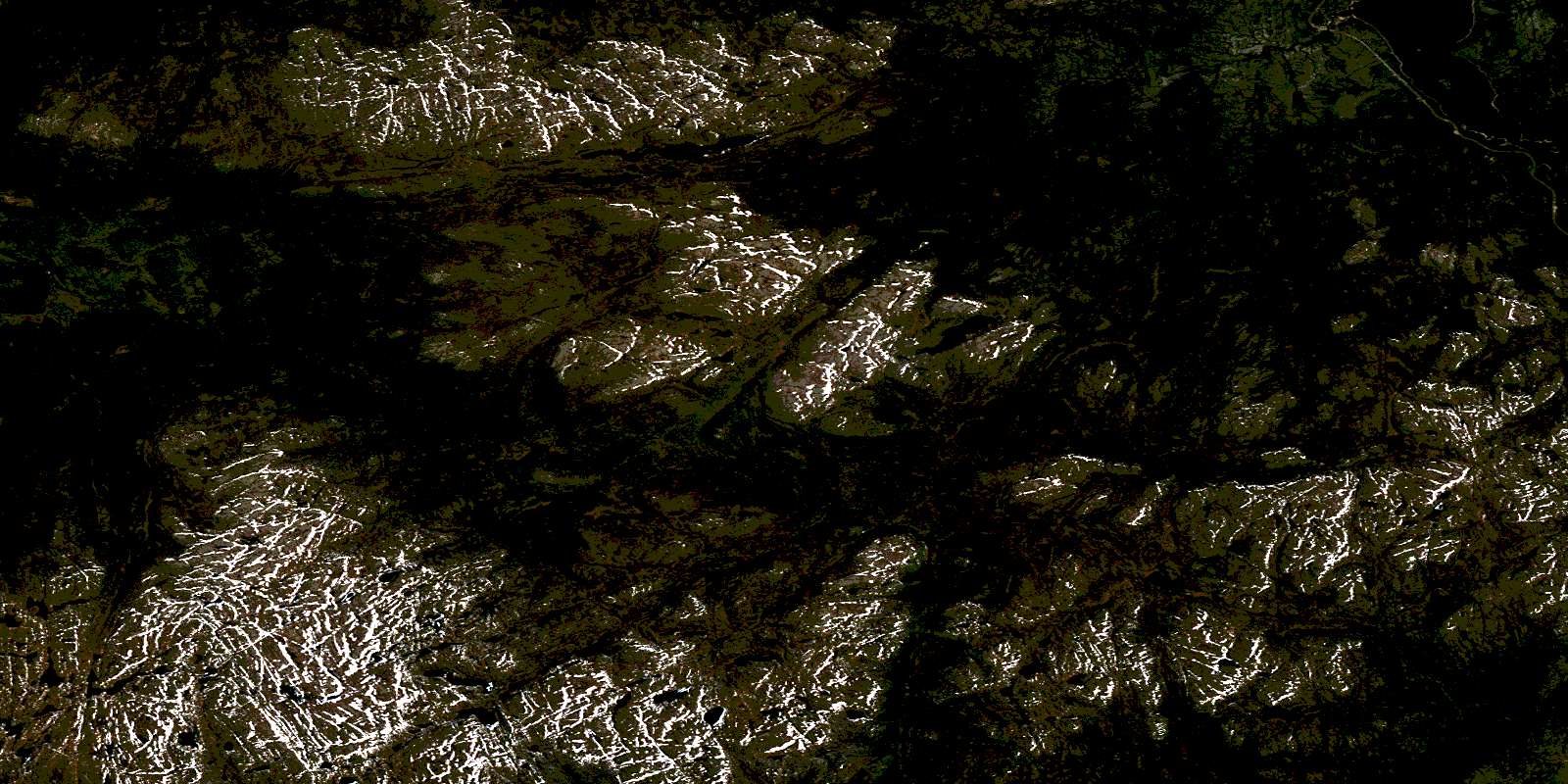
Download Free Aerial Photo 022O12 at 1:50,000 scale
Lac Raudot Satellite Imagery
To view this satellite map, mouse over the air photo on the right.
You can also download this satellite image map for free:
022O12 Lac Raudot high-resolution satellite image map.
Maps for the Lac Raudot aerial map sheet 022O12 at 1:50,000 scale are also available in these versions:
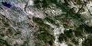
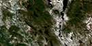
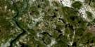
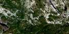
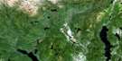
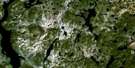
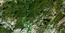
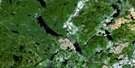
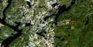
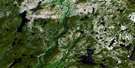
Lac Raudot Surrounding Area Aerial Photo Maps
 |
 |
 |
 |
 |
 |
 |
 |
 |
 |
 |
 |
 |
 |
 |
 |
© Department of Natural Resources Canada. All rights reserved.
Lac Raudot Gazetteer
The following places can be found on satellite image map 022O12 Lac Raudot:
Lac Raudot Satellite Image: Geographical areas
Belle-RocheFagundez
Forgues
Godefroy
Jauffret
Le Courtois
Lac Raudot Satellite Image: Lakes
Lac BuckoLac Jorian
Lac Lucie
Lac Mora
Lac Raudot
Petit lac Manicouagan
Lac Raudot Satellite Image: Mountains
Mont LucieMonts Groulx
Lac Raudot Satellite Image: Rivers
Rivière BeaupinRuisseau Beaupin
Ruisseau Kapishtukatakau
© Department of Natural Resources Canada. All rights reserved.
022O Related Maps:
022O Lac Fouquet022O01 Lac Nipissis
022O02 Grand Lac Germain
022O03 Lac Garemand
022O04 Lac Bardoux
022O05 Lac Grandmesnil
022O06 Lac Catoua
022O07 Lac Marceau
022O08 Grand Lac Au Sable
022O09 Lac Du Brochet
022O10 Lac Boudart
022O11 Montagne Blanche
022O12 Lac Raudot
022O13 Petit Lac Manicouagan
022O14 Lac Gaillarbois
022O15 Rapide Du Diable
022O16 Lac Poissons Blancs
