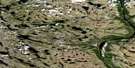
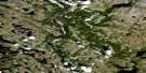
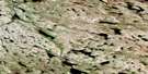
Lac Noeud Coulant Satellite Image Map
Download Free Aerial Photo 024H06 at 1:50,000 scale
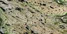
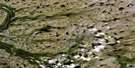
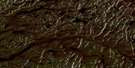
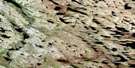
Lac Noeud Coulant Satellite Imagery
To view this satellite map, mouse over the air photo on the right.
You can also download this satellite image map for free:
024H06 Lac Noeud Coulant high-resolution satellite image map.
Maps for the Lac Noeud Coulant aerial map sheet 024H06 at 1:50,000 scale are also available in these versions:
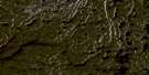
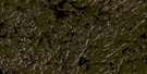
Lac Noeud Coulant Surrounding Area Aerial Photo Maps
 |
 |
 |
 |
 |
 |
 |
 |
 |
 |
 |
 |
 |
 |
 |
 |
© Department of Natural Resources Canada. All rights reserved.
Lac Noeud Coulant Gazetteer
The following places can be found on satellite image map 024H06 Lac Noeud Coulant:
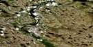
Lac Noeud Coulant Satellite Image: Lakes
Lac MooseLac Napaartusungait
Lac Noeud Coulant
Lac Noose
Mitshu Kaiskuashuant
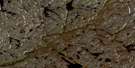
Lac Noeud Coulant Satellite Image: Mountains
Colline GalionLes Pyramides
Pic Pyramide
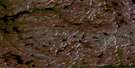
Lac Noeud Coulant Satellite Image: Rivers
Mushuau ShipuPupun Nikau Shipu
Rivière Gasnault
Rivière George
Rivière Kangertialuksoak
Rivière Mitshu
Lac Noeud Coulant Satellite Image: Valleys
Gorge Kaaitushekast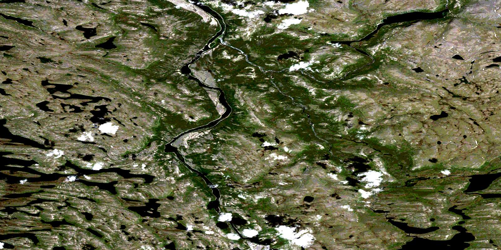
© Department of Natural Resources Canada. All rights reserved.
024H Related Maps:
024H Lac Henrietta024H01 Lac Amarault
024H02 Lac Peret
024H03 Colline Wedge
024H04 Lac Fajot
024H05 Lac Qamanialuup
024H06 Lac Noeud Coulant
024H07 Lac Henrietta
024H08 Lac Cougneau
024H09 Lac Inuluttalik
024H10 Riviere Siimittalik
024H11 Colline Misurtuq
024H12 Lac Doudan
024H13 Ile Qijualuit
024H14 Collines Uquutaaluit
024H15 Lac Laforme
024H16 Riviere Qurlutuapik
