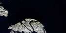
Resolution Harbour Satellite Image Map
Download Free Aerial Photo 025H07 at 1:50,000 scale
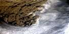
Resolution Harbour Satellite Imagery
To view this satellite map, mouse over the air photo on the right.
You can also download this satellite image map for free:
025H07 Resolution Harbour high-resolution satellite image map.
Maps for the Resolution Harbour aerial map sheet 025H07 at 1:50,000 scale are also available in these versions:
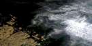
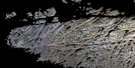
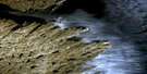
Resolution Harbour Surrounding Area Aerial Photo Maps
 |
 |
 |
|
 |
 |
||
 |
 |
||
© Department of Natural Resources Canada. All rights reserved.
Resolution Harbour Gazetteer
The following places can be found on satellite image map 025H07 Resolution Harbour:
Resolution Harbour Satellite Image: Bays
Acadia CoveCook Bay
Resolution Harbour
Watering Cove
Resolution Harbour Satellite Image: Capes
Beak PointHatton Headland
Topsail Head
White Head
Resolution Harbour Satellite Image: Channels
Acadia PassageCook Passage
Danger Passage
Détroit d'Hudson
Foul Passage
Hudson Strait
Lanyard Passage
Resolution Tickle
Resolution Harbour Satellite Image: Islands
Boatswain IslandCockade Island
Dwarf Island
Entry Islands
Haven Island
Hen and Chicks
Mark Island
Mizzen Island
Radio Island
Resolution Island
Sentinel Island
Star Island
Stock Island
Trident Island
Tusk Island
Watt Islands
Resolution Harbour Satellite Image: Lakes
Sweetwater LakeResolution Harbour Satellite Image: Sea features
The SwirlersResolution Harbour Satellite Image: Shoals
Bilge RocksPuck Rock
Twin Rocks
Resolution Harbour Satellite Image: Unincorporated areas
Resolution Island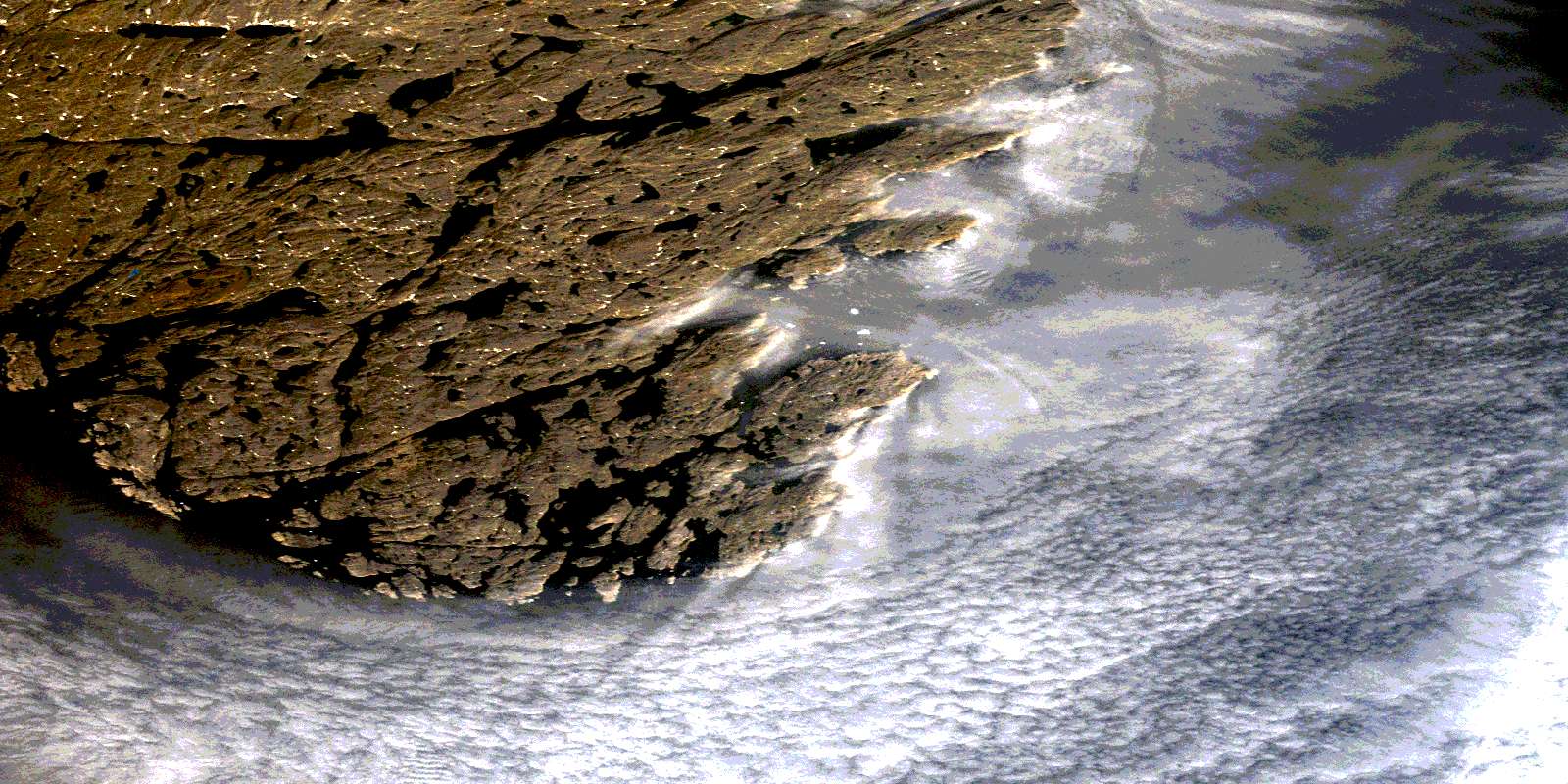
© Department of Natural Resources Canada. All rights reserved.
