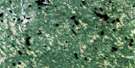
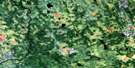
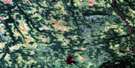
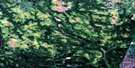
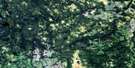
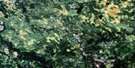
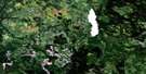
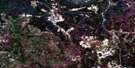
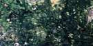
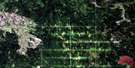
Lac Laurin Satellite Image Map
Download Free Aerial Photo 032E09 at 1:50,000 scale
Lac Laurin Satellite Imagery
To view this satellite map, mouse over the air photo on the right.
You can also download this satellite image map for free:
032E09 Lac Laurin high-resolution satellite image map.
Maps for the Lac Laurin aerial map sheet 032E09 at 1:50,000 scale are also available in these versions:
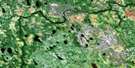
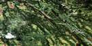
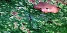
Lac Laurin Surrounding Area Aerial Photo Maps
 |
 |
 |
 |
 |
 |
 |
 |
 |
 |
 |
 |
 |
 |
 |
 |
© Department of Natural Resources Canada. All rights reserved.
Lac Laurin Gazetteer
The following places can be found on satellite image map 032E09 Lac Laurin:
Lac Laurin Satellite Image: Geographical areas
AloignyBapst
Desmazures
Douay
Joutel
La Gauchetière
Montgolfier
Sainte-Hélène
Valrennes
Lac Laurin Satellite Image: Islands
Île PapawokatigLac Laurin Satellite Image: Lakes
Lac BergevinLac Caux
Lac Desmazures
Lac Douay
Lac Josée
Lac Joutel
Lac Jouve
Lac Lapointe
Lac Laurin
Lac Lauzon
Lac Pérusse
Lac Laurin Satellite Image: Mountains
Collines CartwrightLac Laurin Satellite Image: Rivers
Apicigamijici SibiKakijiwewedjiwag Sibi
Rivière Adam
Rivière Allard
Rivière aux Rats
Rivière Harricana
Rivière Nitam
Rivière Rat
Rivière Samson
Rivière Subercase
Ruisseau de la Chute
Ruisseau Falls
Ruisseau Joutel
Ruisseau Jouve
Ruisseau Kakickayowag
Ruisseau Kananewesig
Ruisseau McClure
Tekacanowetig
Lac Laurin Satellite Image: Road features
Portage Kanawakonickiga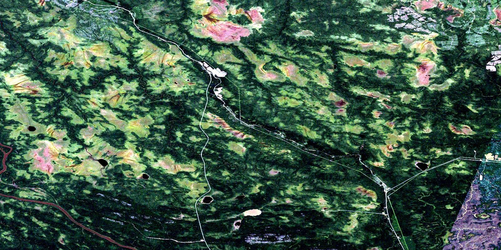
© Department of Natural Resources Canada. All rights reserved.
032E Related Maps:
032E Joutel032E01 Mont Douaumont
032E02 Mont Plamondon
032E03 Villebois
032E04 Abbotsford Lake
032E05 Payntouk Lake
032E06 Ruisseau Orfroy
032E07 Lac Mistaouac
032E08 Ruisseau Kistabiche
032E09 Lac Laurin
032E10 Lac Newiska
032E11 Lac Raymond
032E12 Chabbie Lake
032E13 Detour Lake
032E14 Riviere Turgeon
032E15 Collines Gaudet
032E16 Lac Grasset
