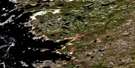
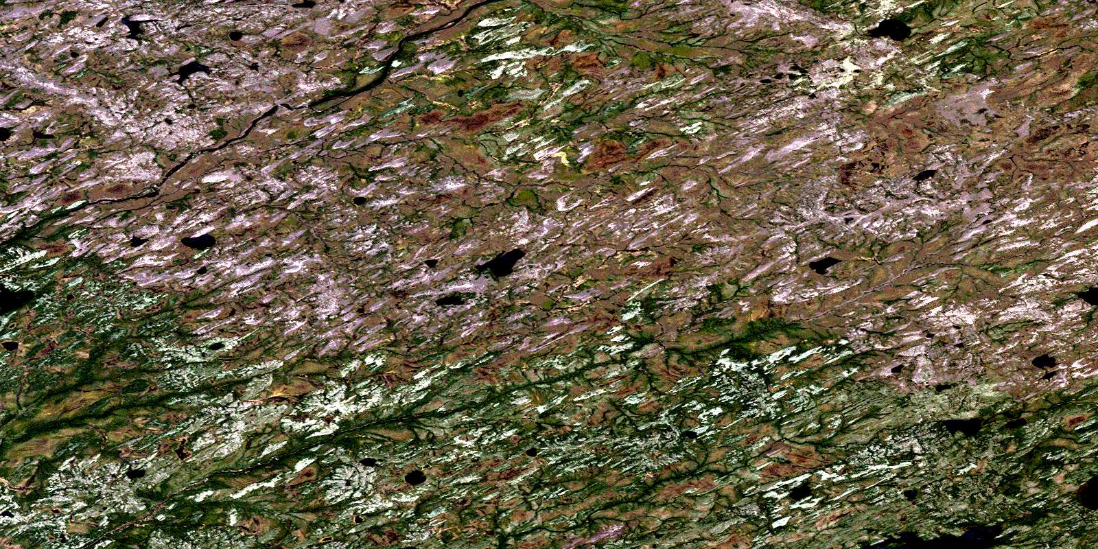
Satellite Image Map
Download Free Aerial Photo 033D09 at 1:50,000 scale
Satellite Imagery
To view this satellite map, mouse over the air photo on the right.
You can also download this satellite image map for free:
033D09 high-resolution satellite image map.
Maps for the aerial map sheet 033D09 at 1:50,000 scale are also available in these versions:
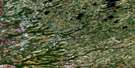
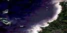
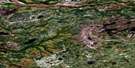
Surrounding Area Aerial Photo Maps
 |
 |
||
 |
 |
||
 |
 |
||
 |
 |
© Department of Natural Resources Canada. All rights reserved.
Gazetteer
The following places can be found on satellite image map 033D09 :
Satellite Image: Lakes
Lac AchipisachiwastechLac Alak
Lac Amistaywasich
Lac Kachisachistinu
Lac Kachiskamikach
Lac Kachiskamikaw
Lac Kakachapipatakanistikw
Lac Kamamachisikamach
Lac Kamaschakwakamach
Lac Kamisikamach
Lac Kapikwaukaw
Lac Kawapisuskuskaw
Lac Kawayapiskach
Lac Miyatinawew
Lac Namewakami
Lac Nutapuswananis
Lac Pikuchichkamakus
Lac Uskuy
Satellite Image: Rivers
Rivière du Vieux ComptoirRivière Kapikwaucikastikw
Rivière Renoyer
Rivière Tilorier
Rivière Varin
Ruisseau Akakamiskutich
© Department of Natural Resources Canada. All rights reserved.
