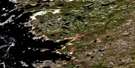
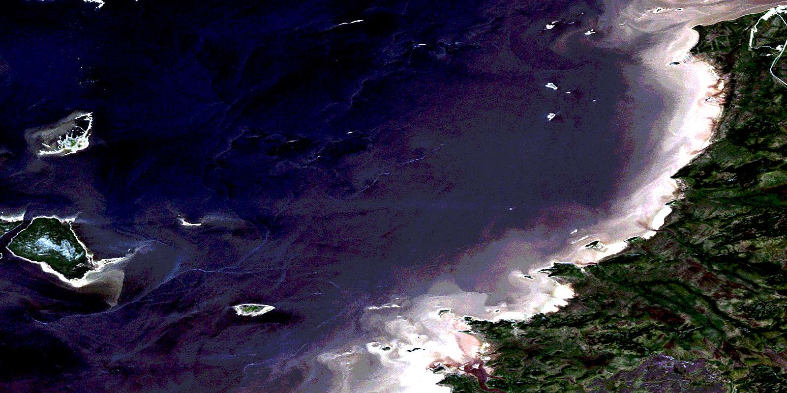
Eastmain Satellite Image Map
Download Free Aerial Photo 033D02 at 1:50,000 scale
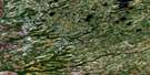
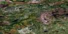
Eastmain Satellite Imagery
To view this satellite map, mouse over the air photo on the right.
You can also download this satellite image map for free:
033D02 Eastmain high-resolution satellite image map.
Maps for the Eastmain aerial map sheet 033D02 at 1:50,000 scale are also available in these versions:
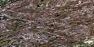
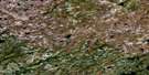
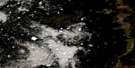
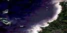
Eastmain Surrounding Area Aerial Photo Maps
 |
 |
||
 |
 |
||
 |
 |
||
 |
 |
© Department of Natural Resources Canada. All rights reserved.
Eastmain Gazetteer
The following places can be found on satellite image map 033D02 Eastmain:
Eastmain Satellite Image: Bays
Baie JamesJames Bay
Strutton Harbour
Eastmain Satellite Image: Capes
Pointe AminikupachPointe Aneyaukach
Pointe Askwashimwakunanish
Pointe Kakw
Pointe Kapiskuskas
Pointe Kapiskuskaw
Pointe Loon
Pointe Mestikwapiskasi
Pointe Mistusuministikw
Pointe Poulharies
Pointe Uchimaskweshupiskwapiskau
Pointe Wapienikus
Eastmain Satellite Image: Forests
Bois Ashimwakunanisi EpimisikEastmain Satellite Image: Islands
Île AstichikunisichÎle Awipinikasich
Île Emahkanikach
Île Emiskushiwanikasich
Île Kapachischenakun
Île Uchimaw
Île Wapimekw
Scoter Island
Strutton Islands
Eastmain Satellite Image: Rivers
Rivière au MoutonRivière Eastmain
Rivière Jack
Rivière Jolicoeur
Rivière Skaskunikas
Ruisseau Amiskw
Ruisseau Episipeyach
Ruisseau Jobson
Ruisseau Kaneyapiskas
Ruisseau Wapiyenikus
Eastmain Satellite Image: Unincorporated areas
AminapiskasichEastmain
Eastmain
Echechempisut
© Department of Natural Resources Canada. All rights reserved.
