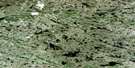
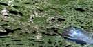
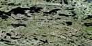
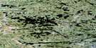
Lac Awahagats Satellite Image Map
Download Free Aerial Photo 033K06 at 1:50,000 scale
Lac Awahagats Satellite Imagery
To view this satellite map, mouse over the air photo on the right.
You can also download this satellite image map for free:
033K06 Lac Awahagats high-resolution satellite image map.
Maps for the Lac Awahagats aerial map sheet 033K06 at 1:50,000 scale are also available in these versions:
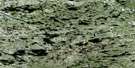
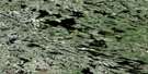
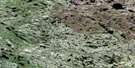
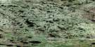
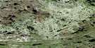
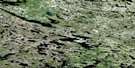
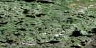
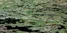
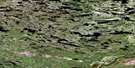
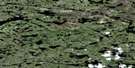
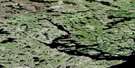
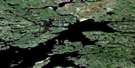
Lac Awahagats Surrounding Area Aerial Photo Maps
 |
 |
 |
 |
 |
 |
 |
 |
 |
 |
 |
 |
 |
 |
 |
 |
© Department of Natural Resources Canada. All rights reserved.
Lac Awahagats Gazetteer
The following places can be found on satellite image map 033K06 Lac Awahagats:
Lac Awahagats Satellite Image: Channels
Passe AupimiskauchLac Awahagats Satellite Image: Lakes
Lac AwahagatsLac Awisinaukamach
Lac Chapanikisi
Lac Chapanikisis
Lac Craven
Lac Intersection
Lac Island
Lac Kanayapiskaw
Lac Kapistakupaw
Lac Mistatikamakw
Lac Skuchisihikanis
Lac Wachiskwakami
Lac Wiskichan
Lac Awahagats Satellite Image: Rivers
Rivière ApakastichRivière Atawataweats

© Department of Natural Resources Canada. All rights reserved.
033K Related Maps:
033K Riviere Denys033K01 Ruisseau Barneuf
033K02 Lac Nudant
033K03 Lac Pamigamachi
033K04 Lac Roggan
033K05 Lac Julian
033K06 Lac Awahagats
033K07 Lac Craven
033K08 Lac Barrois
033K09 Lac Silvy
033K10
033K11
033K12 Lac Atichikami
033K13 Lac Revel
033K14E Lac Amyot
033K14W Lac Amyot
033K15E Lac Denys
033K15W Lac Denys
033K16 Lac Bondesir
