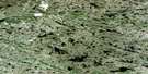
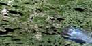
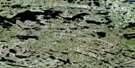
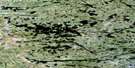
Lac Silvy Satellite Image Map
Download Free Aerial Photo 033K09 at 1:50,000 scale
Lac Silvy Satellite Imagery
To view this satellite map, mouse over the air photo on the right.
You can also download this satellite image map for free:
033K09 Lac Silvy high-resolution satellite image map.
Maps for the Lac Silvy aerial map sheet 033K09 at 1:50,000 scale are also available in these versions:
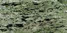
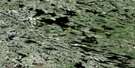
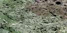
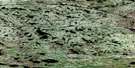
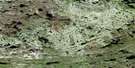
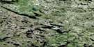
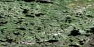
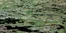
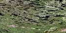
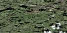
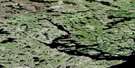
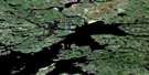
Lac Silvy Surrounding Area Aerial Photo Maps
 |
 |
 |
 |
 |
 |
 |
 |
 |
 |
 |
 |
 |
 |
 |
 |
© Department of Natural Resources Canada. All rights reserved.
Lac Silvy Gazetteer
The following places can be found on satellite image map 033K09 Lac Silvy:
Lac Silvy Satellite Image: Capes
Pointe Uskuy AnakapuchLac Silvy Satellite Image: Lakes
Lac AayapischimakuskasichLac Apwanis
Lac Aupiyakausich
Lac Katatipisikakamaw
Lac Kawastayapipin
Lac Kawastayapipinis
Lac Kuskipis
Lac Marest
Lac Michimimiaten
Lac Miskuachuan
Lac Silvy
Lac Silvy Satellite Image: Mountains
Mont MaskuscisLac Silvy Satellite Image: Rivers
Rivière DenysRivière Wakwapusistikw
South Great Whale River
Lac Silvy Satellite Image: Unincorporated areas
Asinich Aatiwapich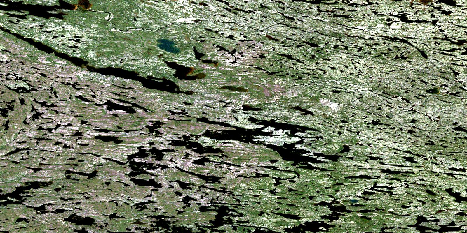
© Department of Natural Resources Canada. All rights reserved.
033K Related Maps:
033K Riviere Denys033K01 Ruisseau Barneuf
033K02 Lac Nudant
033K03 Lac Pamigamachi
033K04 Lac Roggan
033K05 Lac Julian
033K06 Lac Awahagats
033K07 Lac Craven
033K08 Lac Barrois
033K09 Lac Silvy
033K10
033K11
033K12 Lac Atichikami
033K13 Lac Revel
033K14E Lac Amyot
033K14W Lac Amyot
033K15E Lac Denys
033K15W Lac Denys
033K16 Lac Bondesir
