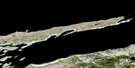
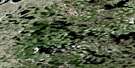
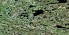
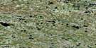
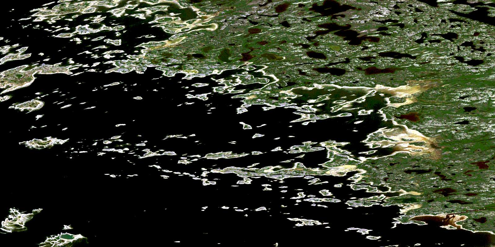
Pointe Kakachischuane Satellite Image Map
Download Free Aerial Photo 033L03 at 1:50,000 scale
Pointe Kakachischuane Satellite Imagery
To view this satellite map, mouse over the air photo on the right.
You can also download this satellite image map for free:
033L03 Pointe Kakachischuane high-resolution satellite image map.
Maps for the Pointe Kakachischuane aerial map sheet 033L03 at 1:50,000 scale are also available in these versions:
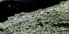
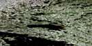
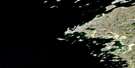
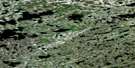
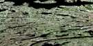
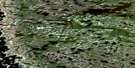
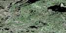
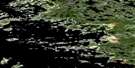
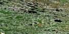
Pointe Kakachischuane Surrounding Area Aerial Photo Maps
 |
 |
 |
 |
 |
 |
 |
 |
 |
 |
 |
 |
 |
 |
 |
© Department of Natural Resources Canada. All rights reserved.
Pointe Kakachischuane Gazetteer
The following places can be found on satellite image map 033L03 Pointe Kakachischuane:
Pointe Kakachischuane Satellite Image: Bays
Baie ApaustikuchBaie James
Paul Bay
Pointe Kakachischuane Satellite Image: Capes
Pointe CacachischouanePointe Kakachischuan
Pointe Kakassituq
Pointe Kakachischuane Satellite Image: Islands
Île AchipukasichÎle Amiskusiunikach
Île Ayumin
Île Chisamukusu
Île Kanapatakataw
Île Kapapapischinikw
Île Kaumichimu
Île Piyakun
Pointe Kakachischuane Satellite Image: Lakes
Lac AtatipayachLac Cisawamisch
Lac Kasakukamach
Lac Kawawiyakamach
Lac Kukamas
Pointe Kakachischuane Satellite Image: Rivers
Rivière CoureaudRivière Kapsaouis
Rivière Piagochioui
Ruisseau Uskutim Apimichitach
© Department of Natural Resources Canada. All rights reserved.
033L Related Maps:
033L Pointe Louis-Xiv033L01 Lac Amounet
033L02 Riviere Coureaud
033L03 Pointe Kakachischuane
033L05 Bare Island
033L06 Roggan-River
033L07 Riviere Perras
033L08 Lac Darontal
033L09 Lac Caillaud
033L10 Lac Savignon
033L11 Lac Ominuk
033L12 Cape Jones Island
033L13 No Title
033L14 Pointe Majuriarvik
033L15 Pointe Vauquelin
033L16 Lac Lomier
