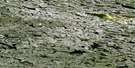
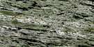
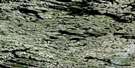
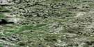
Satellite Image Map
Download Free Aerial Photo 034B01 at 1:50,000 scale
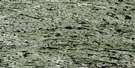
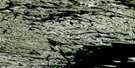
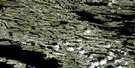
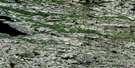
Satellite Imagery
To view this satellite map, mouse over the air photo on the right.
You can also download this satellite image map for free:
034B01 high-resolution satellite image map.
Maps for the aerial map sheet 034B01 at 1:50,000 scale are also available in these versions:
Surrounding Area Aerial Photo Maps
 |
 |
 |
 |
 |
 |
 |
 |
 |
 |
 |
 |
 |
 |
 |
 |
© Department of Natural Resources Canada. All rights reserved.
Gazetteer
The following places can be found on satellite image map 034B01 :
Satellite Image: Geographical areas
Nord-du-QuébecSatellite Image: Islands
Île AtkinsonÎle des Foreurs
Île Kamiskutanikaw
Île Mantunikw
Île Mistinikw
Îles Ayatawanikaw
Satellite Image: Lakes
Lac à l'Eau ClaireLac Bonat
Lac Donat
Lac Lussay
Lac Wiyasakami
Satellite Image: Major municipal/district area - major agglomerations
Nord-du-Québec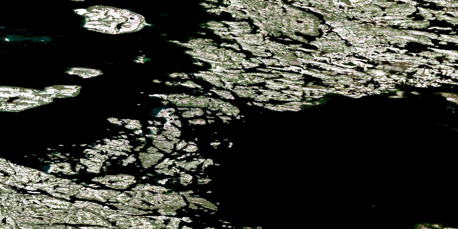
© Department of Natural Resources Canada. All rights reserved.
