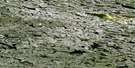
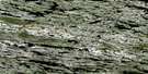
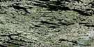
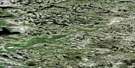
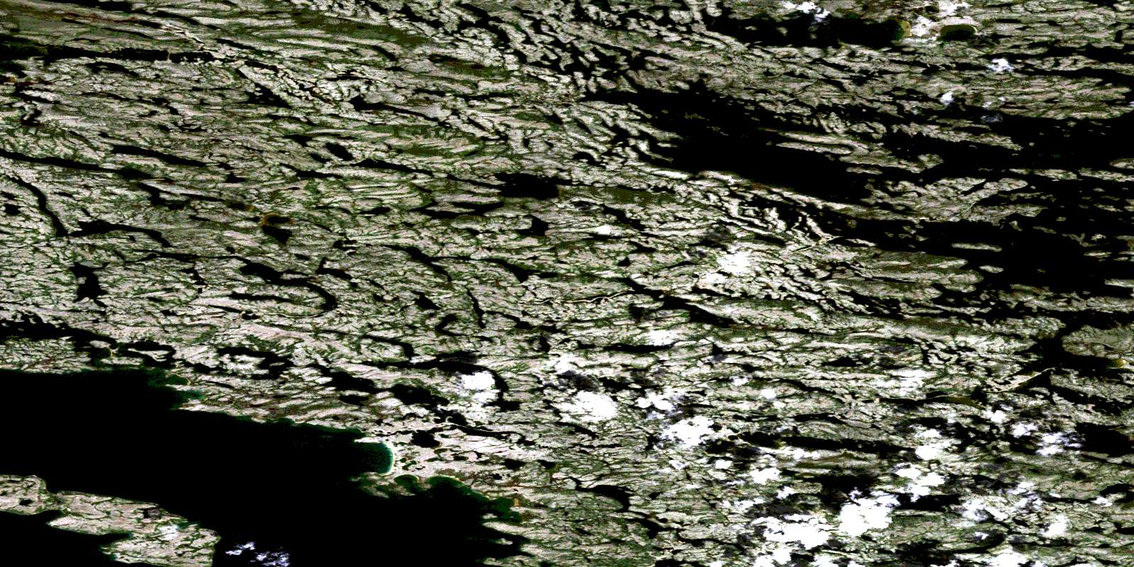
Canada Topographic Maps

Satellite Image Map

Download Free Aerial Photo 034B08 at 1:50,000 scale
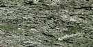
Satellite Imagery

To view this satellite map, mouse over the air photo on the right.

You can also download this satellite image map for free:
034B08 high-resolution satellite image map.

Maps for the aerial map sheet 034B08 at 1:50,000 scale are also available in these versions:

  1. Buy Digital Topo Maps on Data-DVD
  2. Buy Waterproof Topographic Map
  3. Buy Topographic Paper Map
  4. Free Digital Topo Map

Surrounding Area Aerial Photo Maps

034B13  Aerial Satellite Photo Thumbnail 034B14  Aerial Satellite Photo Thumbnail 034B15 Lac Melvin Aerial Satellite Photo Thumbnail 034B16  Aerial Satellite Photo Thumbnail
034B12  Aerial Satellite Photo Thumbnail 034B11  Aerial Satellite Photo Thumbnail 034B10  Aerial Satellite Photo Thumbnail 034B09  Aerial Satellite Photo Thumbnail
034B05  Aerial Satellite Photo Thumbnail 034B06  Aerial Satellite Photo Thumbnail 034B07  Aerial Satellite Photo Thumbnail 034B08  Aerial Satellite Photo Thumbnail
034B04  Aerial Satellite Photo Thumbnail 034B03  Aerial Satellite Photo Thumbnail 034B02  Aerial Satellite Photo Thumbnail 034B01  Aerial Satellite Photo Thumbnail
© Department of Natural Resources Canada. All rights reserved.

Gazetteer

The following places can be found on satellite image map 034B08 :

Satellite Image: Islands

Île Kuchistiniwamiskahikan

Satellite Image: Lakes

Lac à l'Eau Claire
Lac Damien
Lac Michisu Ustikwan
Lac Nipischi
Lac Wiyasakami
Lacs des Loups Marins

Satellite Image: Mountains

Colline Achakaskutach

Satellite Image: Rivers

Rivière Nastapoca
Rivière Nastapoka
Air photo:  Satellite Image map 034B08 at 1:50,000 Scale
© Department of Natural Resources Canada. All rights reserved.
 
Buy Topographic Maps DVD
Newsletter Sign-up

Yes, I want to receive map store discounts.


Bookmark and Share