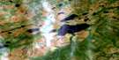
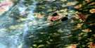
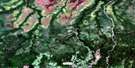
Crawford Lake Satellite Image Map
Download Free Aerial Photo 042J11 at 1:50,000 scale
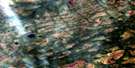
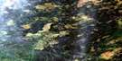
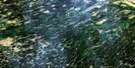
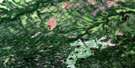
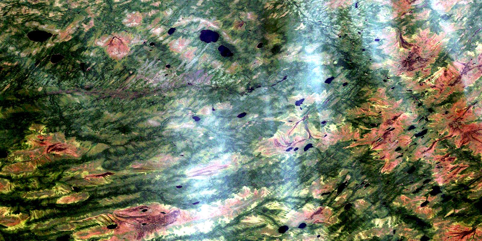
Crawford Lake Satellite Imagery
To view this satellite map, mouse over the air photo on the right.
You can also download this satellite image map for free:
042J11 Crawford Lake high-resolution satellite image map.
Maps for the Crawford Lake aerial map sheet 042J11 at 1:50,000 scale are also available in these versions:
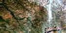
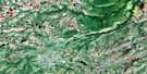
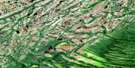
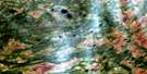
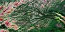
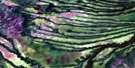
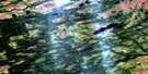
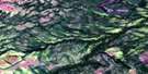
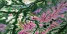
Crawford Lake Surrounding Area Aerial Photo Maps
 |
 |
 |
 |
 |
 |
 |
 |
 |
 |
 |
 |
 |
 |
 |
 |
© Department of Natural Resources Canada. All rights reserved.
Crawford Lake Gazetteer
The following places can be found on satellite image map 042J11 Crawford Lake:
Crawford Lake Satellite Image: Lakes
Crawford LakeCrawford Lake Satellite Image: Rivers
Rabbit RiverRidge River
© Department of Natural Resources Canada. All rights reserved.
042J Related Maps:
042J Smoky Falls042J01 Smoky Falls
042J02 Friday Creek
042J03 Thunder House Falls
042J04 Keown Lake
042J05 Serinack Lake
042J06 Martison Lake
042J07 Soweska River
042J08 Wawa Lakes
042J09 Mccuaig Creek
042J10 Schlievert Lakes
042J11 Crawford Lake
042J12 Moir Lake
042J13 Pledger Lake
042J14 Skene Lake
042J15 Lejambe Creek
042J16 Lawry Creek
