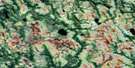
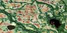
Cochrane Lake Satellite Image Map
Download Free Aerial Photo 042N01 at 1:50,000 scale
Cochrane Lake Satellite Imagery
To view this satellite map, mouse over the air photo on the right.
You can also download this satellite image map for free:
042N01 Cochrane Lake high-resolution satellite image map.
Maps for the Cochrane Lake aerial map sheet 042N01 at 1:50,000 scale are also available in these versions:
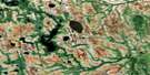
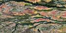
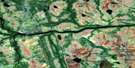
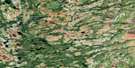
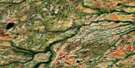
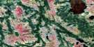
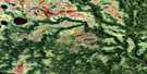
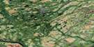
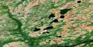
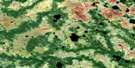
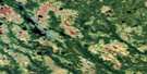
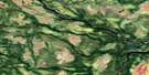
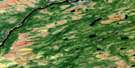
Cochrane Lake Surrounding Area Aerial Photo Maps
 |
 |
 |
 |
 |
 |
 |
 |
 |
 |
 |
 |
 |
 |
 |
 |
© Department of Natural Resources Canada. All rights reserved.
Cochrane Lake Gazetteer
The following places can be found on satellite image map 042N01 Cochrane Lake:
Cochrane Lake Satellite Image: Geographical areas
KenoraCochrane Lake Satellite Image: Islands
Comb IslandOldman Island
Cochrane Lake Satellite Image: Lakes
Cochrane LakeDownie Lake
Lewis Lake
Winsa Lake
Cochrane Lake Satellite Image: Rivers
Albany RiverChemahagan River
Henley River
Kenogami River
Nest River
Tchakashapug River
Cochrane Lake Satellite Image: River features
The Albany Forks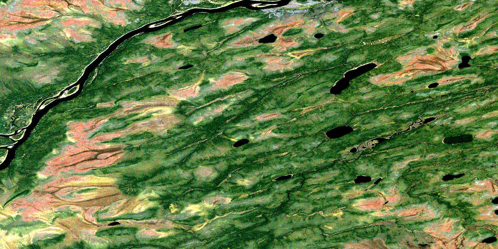
© Department of Natural Resources Canada. All rights reserved.
042N Related Maps:
042N Ogoki042N01 Cochrane Lake
042N02 Coltman Island
042N03 Quantz Lake
042N04 Joselin Lake
042N05 Wabimeig Lake
042N06 Chard River
042N07 No Title
042N08 No Title
042N09 No Title
042N10 No Title
042N11 Muswabik Lake
042N12 Stonebasket Island
042N13 Tiffin Lake
042N14 Napken Lake
042N15 No Title
042N16 No Title
