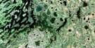
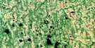
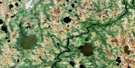
Wapitotem Lake Satellite Image Map
Download Free Aerial Photo 043D05 at 1:50,000 scale
Wapitotem Lake Satellite Imagery
To view this satellite map, mouse over the air photo on the right.
You can also download this satellite image map for free:
043D05 Wapitotem Lake high-resolution satellite image map.
Maps for the Wapitotem Lake aerial map sheet 043D05 at 1:50,000 scale are also available in these versions:
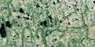
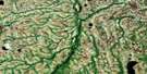
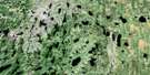
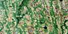
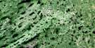
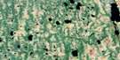
Wapitotem Lake Surrounding Area Aerial Photo Maps
 |
 |
 |
 |
 |
 |
 |
 |
 |
 |
 |
 |
 |
 |
 |
 |
© Department of Natural Resources Canada. All rights reserved.
Wapitotem Lake Gazetteer
The following places can be found on satellite image map 043D05 Wapitotem Lake:
Wapitotem Lake Satellite Image: Islands
Karns IslandMoran Island
Rose Island
Wapitotem Lake Satellite Image: Lakes
Aldred LakeArneil Lake
Attawapiskat Lake
Bartman Lake
Brazeau Lake
Chequer Lake
Colfe Lake
Dearden Lake
Freure Lake
Lavoie Lake
Mameigwess Lake
Obashi Lake
Rollings Lake
Rowell Lake
Rowlandson Lake
Shallows Lake
Sheflin Lake
Shouldice Lake
Spero Lake
Springer Lake
Travers Lake
Wapitotem Lake
Wapitotem Lake Satellite Image: Conservation areas
Otoskwin-Attawapiskat River Provincial Park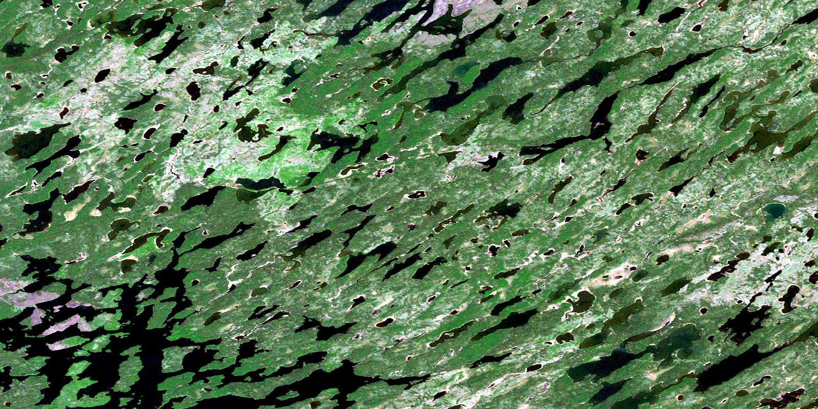
© Department of Natural Resources Canada. All rights reserved.
043D Related Maps:
043D Lansdowne House043D01 Pym Island
043D02 Shibley Lake
043D03 Beteau Lake
043D04 Richter Lake
043D05 Wapitotem Lake
043D06 Barnhart Lake
043D07 Kitchie Lake
043D08 Highbank Lake
043D09 Symons Lake
043D10 Goods Lake
043D11 Pulham Lake
043D12 Abelson Lake
043D13 Kanuchuan Lake
043D14 Winisk Lake
043D15 Prime Lake
043D16 Greig Lake
