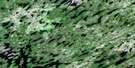
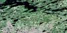
Kanuchuan Lake Satellite Image Map
Download Free Aerial Photo 043D13 at 1:50,000 scale
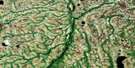
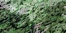
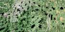
Kanuchuan Lake Satellite Imagery
To view this satellite map, mouse over the air photo on the right.
You can also download this satellite image map for free:
043D13 Kanuchuan Lake high-resolution satellite image map.
Maps for the Kanuchuan Lake aerial map sheet 043D13 at 1:50,000 scale are also available in these versions:
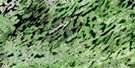
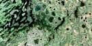
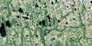
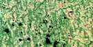
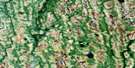
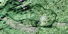
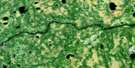
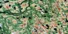
Kanuchuan Lake Surrounding Area Aerial Photo Maps
 |
 |
 |
 |
 |
 |
 |
 |
 |
 |
 |
 |
 |
 |
 |
 |
© Department of Natural Resources Canada. All rights reserved.
Kanuchuan Lake Gazetteer
The following places can be found on satellite image map 043D13 Kanuchuan Lake:
Kanuchuan Lake Satellite Image: Bays
Blackler BayKanuchuan Lake Satellite Image: Capes
Starrup PeninsulaKanuchuan Lake Satellite Image: Islands
Brett IslandCotter Island
Ferron Island
Howson Island
Ivey Island
Starrup Island
Tuttle Island
Kanuchuan Lake Satellite Image: Lakes
Blackler LakeBooty Lake
Chipai Lake
Edhouse Lake
Falan Lake
Harfitt Lake
Hodge Lake
Kanuchuan Lake
Pikula Lake
Richer Lake
Ring Lake
Scharf Lake
Steed Lake
Utman Lake
Wapikopa Lake
Wharton Lake
Winisk Lake
Kanuchuan Lake Satellite Image: Conservation areas
Winisk River Provincial ParkKanuchuan Lake Satellite Image: Rapids
Kanuchuan RapidsKanuchuan Lake Satellite Image: Rivers
Chipai RiverFishbasket River
Wapitotem River

© Department of Natural Resources Canada. All rights reserved.
043D Related Maps:
043D Lansdowne House043D01 Pym Island
043D02 Shibley Lake
043D03 Beteau Lake
043D04 Richter Lake
043D05 Wapitotem Lake
043D06 Barnhart Lake
043D07 Kitchie Lake
043D08 Highbank Lake
043D09 Symons Lake
043D10 Goods Lake
043D11 Pulham Lake
043D12 Abelson Lake
043D13 Kanuchuan Lake
043D14 Winisk Lake
043D15 Prime Lake
043D16 Greig Lake
